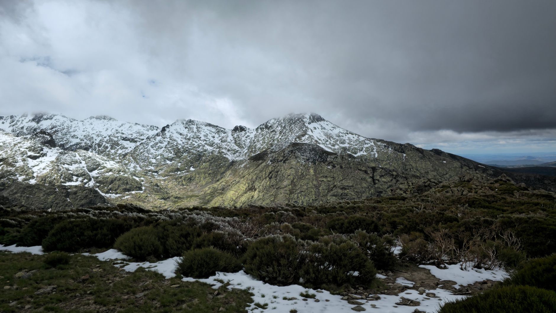
September 20, 2026 · 4 min read
The GR20 in Corsica is legendary—a formidable, world-renowned long-distance trail that snakes across the island's mountainous spine. For many, the question isn't just 'can I complete it?' but 'what truly makes it dangerous?' While famous exposed sections and steep ascents often grab headlines, the real peril and intrigue of the GR20 often lie in its lesser-known corners.
Beyond the well-trodden, high-profile passes, Corsica's raw heart harbors places where natural forces, ancient history, and persistent local lore intertwine to create challenges far more subtle, yet equally demanding. We've compiled a list of seven such spots, each with a unique story that reveals the true, complex nature of the GR20's rugged beauty.
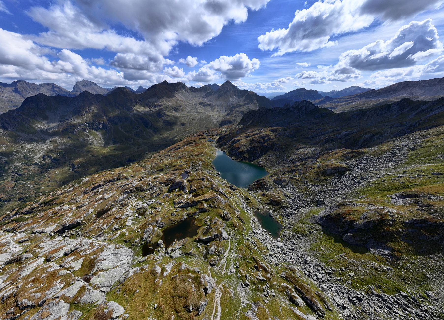
1. The Whispering Pozzines of Lac de Nino
Lac de Nino, Corsica
These rare, high-altitude peat bogs, home to wild horses, can turn into a disorienting labyrinth when Corsica's infamous mists descend.
At over 1700 meters, Lac de Nino is famed for its *pozzines* – natural grassy lawns dotted with shallow pools, remnants of ancient glacial activity. While beautiful, sudden, thick fog can roll in, making navigation treacherous as the subtle paths disappear, leading hikers into the surprisingly boggy terrain. It's a place where the landscape itself becomes a test of focus and humility, easily turning a scenic stroll into a disorienting challenge.
2. The Shadowed Maquis of Vizzavona
Vizzavona Forest, Corsica
The dense *maquis* around Vizzavona isn't just fragrant scrub; it's a historical hideout where Corsican *banditi* and resistance fighters vanished for centuries, making its depths surprisingly perilous for the uninitiated.
The section of the GR20 passing through the Vizzavona forest is surrounded by the iconic Corsican *maquis*, an impenetrable tangle of aromatic shrubs. For centuries, this dense vegetation provided perfect cover for outlaws and independence fighters. Locals knew specific, unmarked paths, while outsiders faced hidden pitfalls, treacherous footing, and the constant threat of ambush. Even today, straying from the marked trail can lead to being hopelessly lost in its thorny embrace, a reminder of its historical dangers.
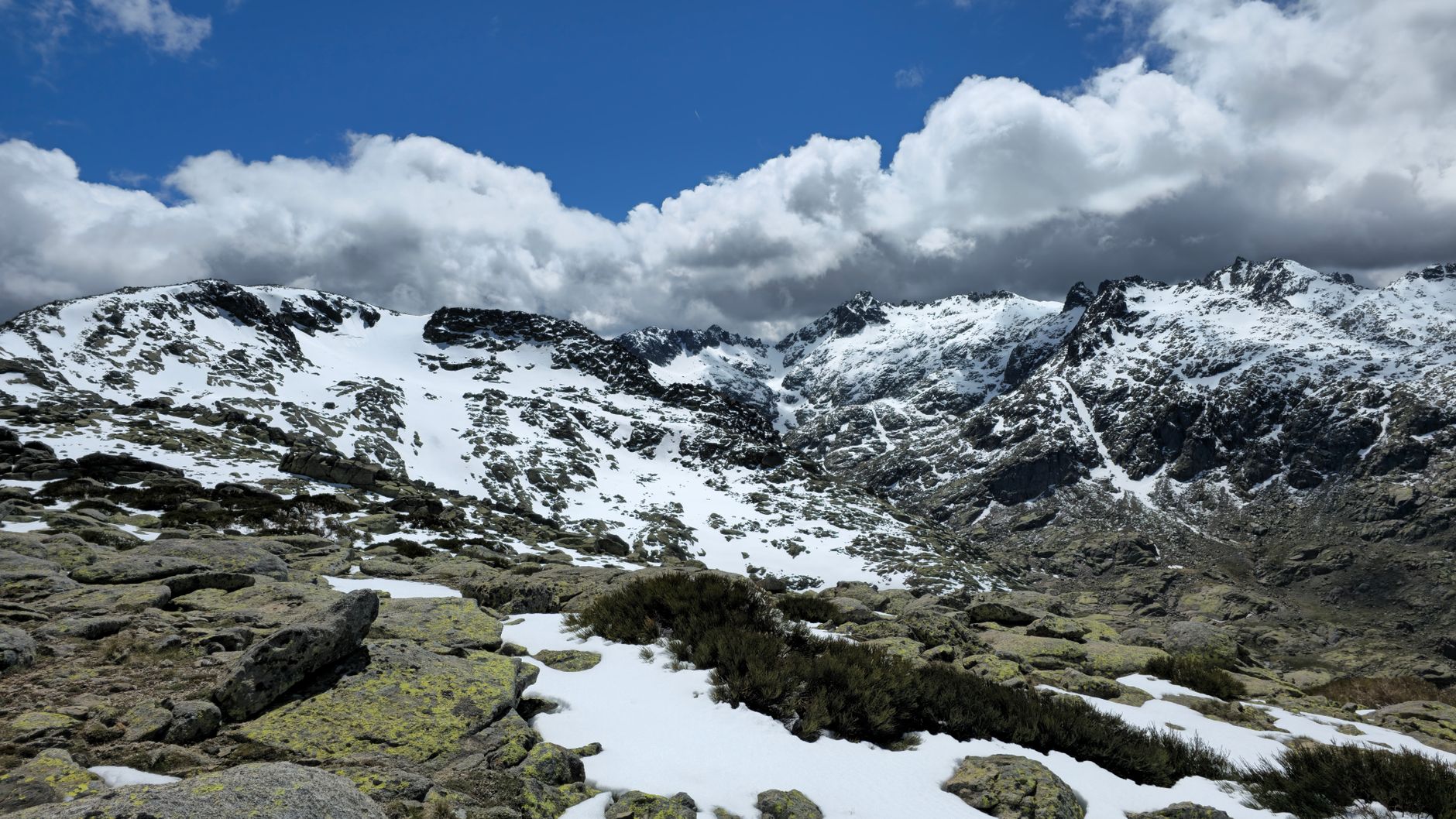
3. Col de Capellu's Ancient Granite Graveyard
Col de Capellu, Corsica
The ascent to Col de Capellu is a relentless scramble over a vast field of ancient, tumbled granite, a geological graveyard where every step demands unwavering attention.
Approaching Col de Capellu, especially from the Col de Vergio side, is a lesson in Corsican geology. The path vanishes into a chaotic jumble of massive granite blocks, some as big as small cars, remnants of millennia of erosion and glacial activity. This 'granite graveyard' requires careful hand-and-foot scrambling, and a misplaced step or loose rock can lead to serious injury, making it one of the GR20's most physically demanding and potentially dangerous sections, where the mountain's raw power is palpable.
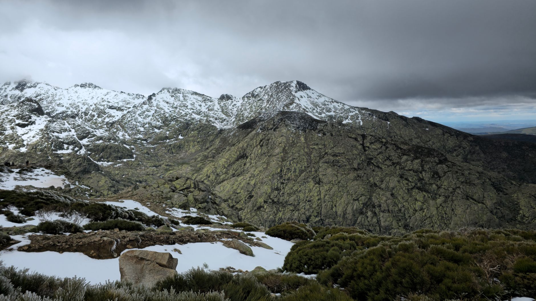
4. Punta di a Leccia's Wind-Whipped Divide
Punta di a Leccia, Corsica (near Refuge de l'Onda)
This exposed, wind-battered ridge, historically a contested boundary between rival clans, still feels like a place where forces clash, demanding unwavering balance and respect.
The traverse over Punta di a Leccia, high above the valley leading to Refuge de l'Onda, is notorious for its exposure and fierce winds. This knife-edge path offers breathtaking views but no shelter, often requiring hikers to brace against gusts strong enough to unbalance them. Historically, such high, exposed ridges were strategic points and often served as dangerous demarcation lines between powerful Corsican families, adding a layer of historical tension to the natural peril that persists today.
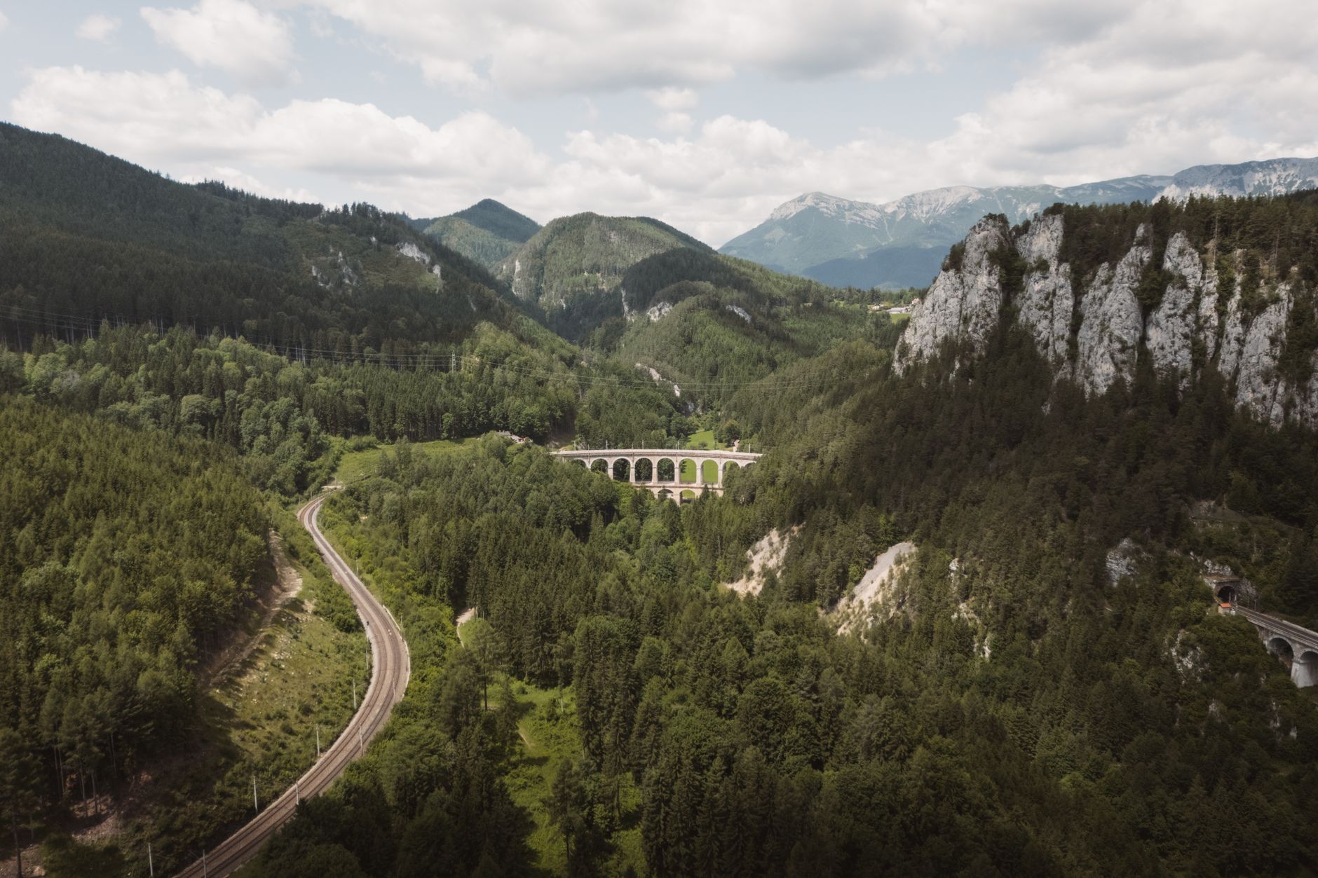
5. The Clandestine Passage of Pont de Zaglia
Fango Valley, Corsica
Hidden deep within the Fango Valley, the ancient Pont de Zaglia, a single-arch Genoese bridge, was once a secret pathway for Corsican rebels, its remote beauty concealing a history of evasive maneuvers.
While a slight detour from the main GR20, the Pont de Zaglia offers a glimpse into Corsica's past. This beautifully preserved Genoese bridge, spanning the clear Fango River, is nestled in a wild, isolated valley. Its strategic remoteness made it an ideal, though risky, crossing point for *pasciali* (smugglers) and *patrioti* (patriots) avoiding colonial patrols. The trail to it, though less extreme than the GR20, highlights the historical dangers of navigating Corsica's hidden routes and the enduring spirit of its people.
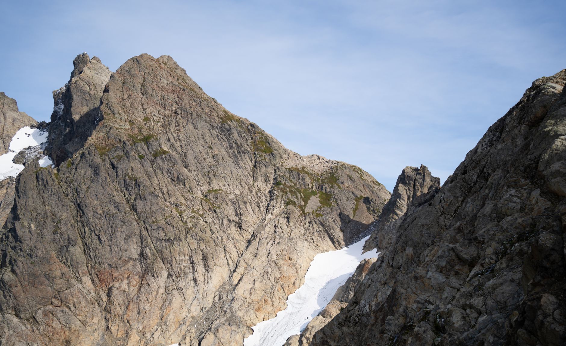
6. L'Incudine's Spirit-Haunted Summit
L'Incudine summit, Corsica (southern GR20)
L'Incudine, 'The Anvil,' the highest point of the southern GR20, is a stark, treeless expanse where local folklore claims the spirits of ancient warriors gather during fierce, sudden storms.
Reaching the summit of L'Incudine (2134m) is a major achievement on the southern GR20. This vast, exposed plateau offers no protection from the elements, making it particularly vulnerable to sudden changes in weather. Legend has it that the spirits of ancient Corsican warriors, who fought for their island's freedom, roam this windswept peak during storms, adding an eerie dimension to its natural challenges. The climb demands resilience and respect for the mountain's raw, untamed power.
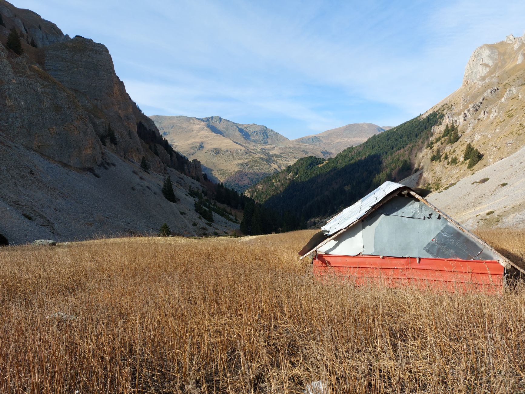
7. Bergerie de Vaccaghia's Isolated History
Bergerie de Vaccaghia, Corsica
The remote Bergerie de Vaccaghia, a cluster of ancient shepherd's huts, represents a bygone era of extreme isolation where survival depended on intimate knowledge of a landscape that could turn hostile without warning.
Perched high in a breathtaking valley, the Bergerie de Vaccaghia is more than just a GR20 stopping point; it's a living museum of Corsican pastoral life. For centuries, shepherds endured harsh winters and sudden summer storms here, often completely cut off. While offering refuge to hikers today, its historical isolation underscores the constant battle against the elements, where a misjudgment in weather or resources could prove fatal in earlier times. The sense of remoteness and the echoes of past hardships still hum in the air.
Frequently asked questions
Is the GR20 hike suitable for beginners?
No, the GR20 is widely considered one of Europe's toughest long-distance trails, requiring excellent physical condition, significant hiking experience, and good navigation skills. It involves extensive scrambling, steep ascents and descents, and exposed sections.
What are the main risks on the GR20 apart from the terrain?
Beyond the challenging terrain, hikers face risks from sudden and severe weather changes, including thunderstorms, fog, and strong winds. Dehydration, heatstroke, and navigation errors, especially in poor visibility, are also significant concerns on this remote trail.
How long does it typically take to complete the GR20?
Most hikers complete the full GR20 in approximately 12 to 15 days, covering roughly 180 kilometers and over 10,000 meters of elevation gain. Many choose to complete either the northern (more technical) or southern (more rolling) half as separate trips.
How can AllTours.ai help me explore places like the GR20?
AllTours.ai enhances your travel experience by providing immersive audio tours. Simply point your phone camera at any landscape or landmark along your journey, and our AI guide will narrate its fascinating history, geology, and culture directly in your preferred language.
Photography via Pexels. AllTours.ai is an AI audio tour guide — point your camera at any landscape and hear its story.