June 15, 2026 · 4 min read
Mount Pinatubo, once a sleeping giant, erupted catastrophically in 1991, forever reshaping the landscape of Luzon, Philippines. Today, its summit trek is a pilgrimage for adventurers, leading to a stunning turquoise crater lake that often overshadows the incredible journey itself.
But what is it really like to hike to the summit of Mount Pinatubo today? Beyond the famous views, the trail offers a deeper narrative—a landscape sculpted by both immense destruction and resilient rebirth. Here are some of the lesser-known wonders and stories you'll encounter on your way to Pinatubo's peak.
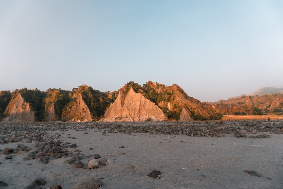
1. The Lahar Canyons of Crow Valley
Capas, Tarlac, Philippines
Drive through a moonscape carved by volcanic mud that once swallowed villages whole.
The initial 4x4 journey isn't just transport; it's an immersive ride through the vast lahar canyons of Crow Valley. These deep, sculpted channels, formed by volcanic mudflows post-1991, reveal layers of ash and debris that once buried towns. It’s a stark reminder of the eruption's destructive power, now a landscape of haunting, almost alien beauty.
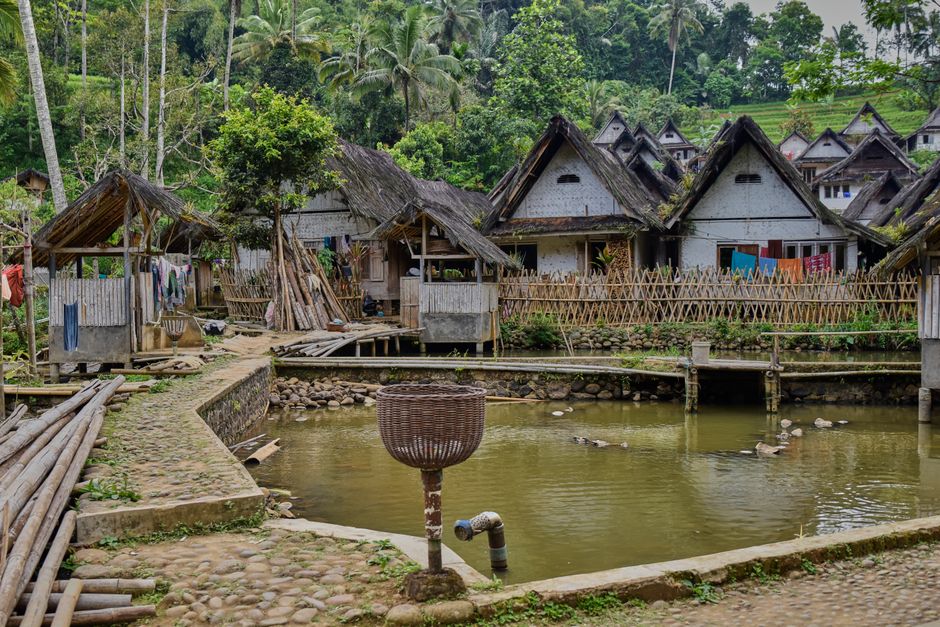
2. Sitio Tarukan – An Aeta Resettlement
Botolan, Zambales, Philippines
Discover how an indigenous community, displaced by the eruption, reclaimed their ancestral lands against all odds.
While most focus on the crater, the Aeta people's story is deeply intertwined with Pinatubo. Sitio Tarukan is one of several Aeta resettlement areas. After losing everything, these resilient indigenous communities slowly returned to parts of their ancestral domain, adapting their traditional foraging and farming to a changed landscape and showcasing remarkable cultural preservation.
3. The Whispering Sands of the Sacobia Riverbed
Sacobia River, Capas, Tarlac, Philippines
Hear the subtle shift of sands in a riverbed that once roared with a devastating pyroclastic flow.
Crossing the Sacobia River is a quiet moment on the trail, but this serene scene belies a violent past. This riverbed was a primary channel for the massive pyroclastic flows and lahars that followed the 1991 eruption, forever altering its course and leaving behind deep deposits of ash and volcanic debris. The shifting sands are a constant, gentle echo of that immense geological power.
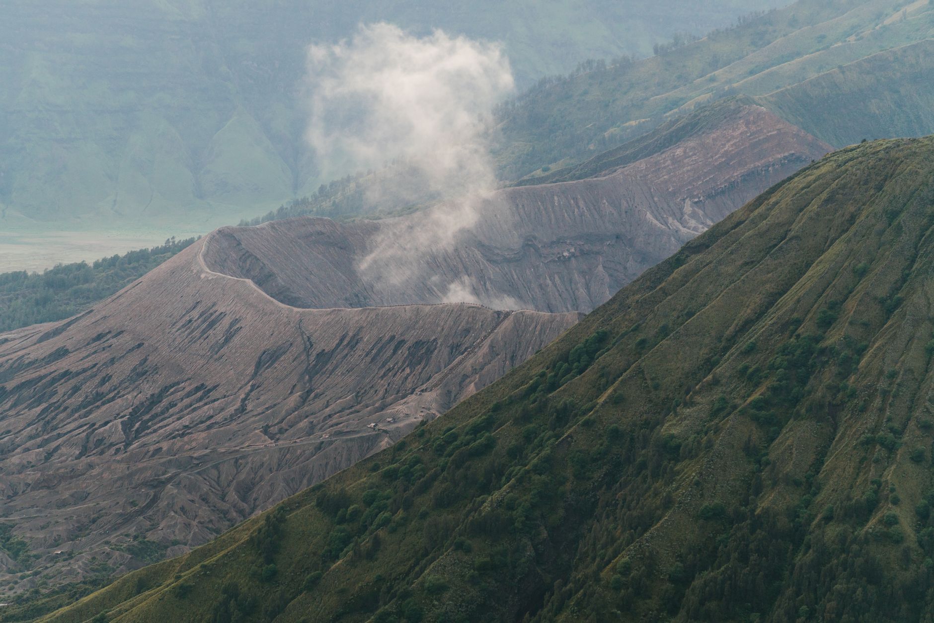
4. The 'Skyway' Ascent – A Geological Staircase
Mount Pinatubo Trail, Philippines
Climb a pathway that is itself a testament to the mountain's collapse and rebirth.
The final stretch to the crater rim, often called the 'Skyway' or 'Sky Ladder,' isn't just a steep climb; it traces the rim of what was once Pinatubo's pre-eruption summit. Each step up reveals the layered ash and rock that formed after the 1991 collapse, essentially climbing into the heart of a newly formed caldera. It's a living cross-section of geological history.
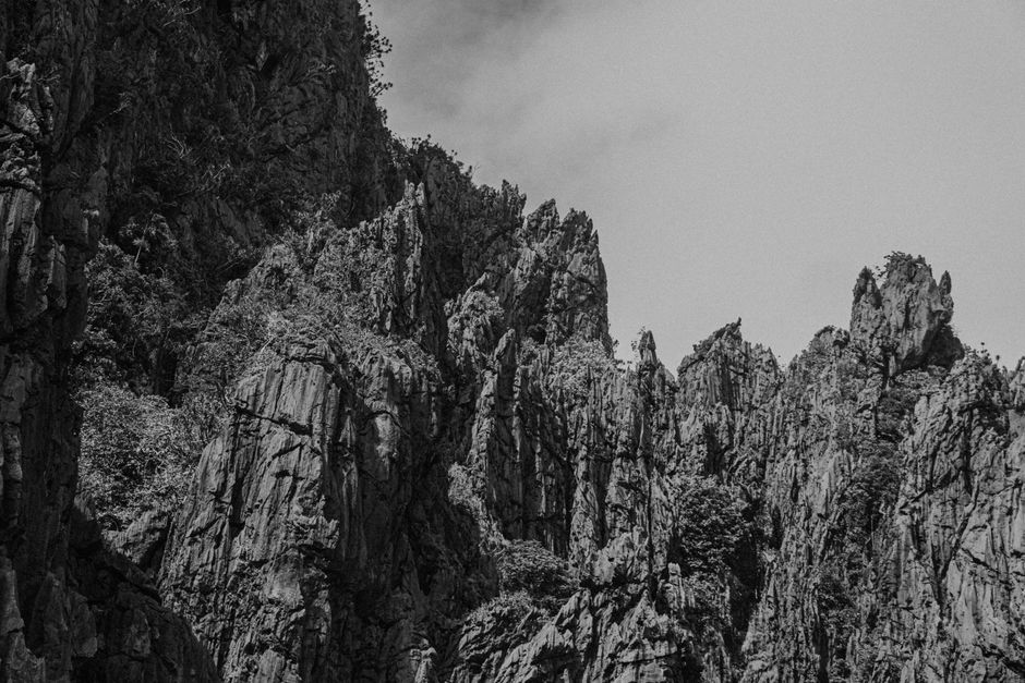
5. The 'White Rock' Formations
Near the Crater Lake viewpoint, Mount Pinatubo, Philippines
Marvel at ephemeral rock formations sculpted not by water, but by wind and rain on layers of volcanic ash.
As you near the crater, look for patches of stark white, almost chalky rock formations. These aren't solid bedrock but compacted layers of volcanic ash, eroded by the elements into delicate, almost alien shapes. They are a constantly changing testament to the softer, more malleable nature of the post-eruption landscape, unlike any typical rock outcrop.
6. The Ghost Forest Below the Crater
Slopes approaching Pinatubo Crater Lake, Philippines
Witness a forest eerily preserved in ash, a stark reminder of what stood before the catastrophe.
In certain areas leading to the crater, especially after heavy rains expose layers, you can sometimes glimpse the ghostly remains of trees buried upright in ash. These 'ghost forests' are remnants of the pre-eruption jungle, flash-frozen in time by pyroclastic flows. They offer a poignant visual of the sudden, overwhelming destruction that reshaped the entire ecosystem.

7. Lake Mapanuepe – Pinatubo's Accidental Lake
Zambales, Philippines
Discover a hidden lake that formed not from rain, but from a river dammed by a colossal lahar.
While not directly on the hike to the crater, Lake Mapanuepe is a profound consequence of the 1991 eruption. The lahar flows from Pinatubo completely blocked the Mapanuepe River, creating an entirely new, vast lake that submerged several villages and a church. It’s a powerful example of how volcanic activity can permanently alter entire geographical regions far beyond the immediate crater.
Frequently asked questions
Is the hike to Mount Pinatubo difficult?
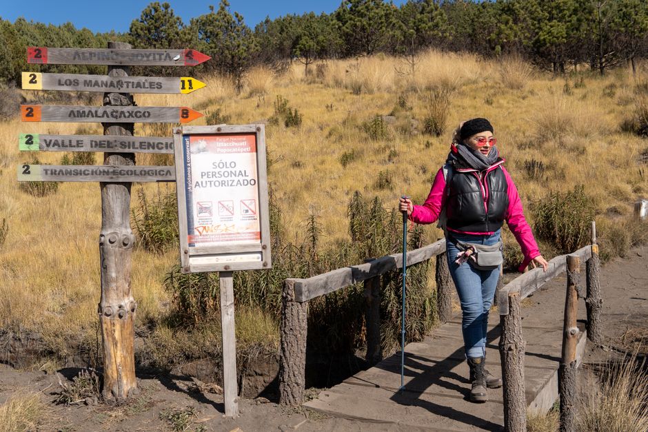
The hike is considered moderately challenging. The initial 4x4 ride is bumpy, followed by a 1.5 to 2-hour trek on relatively flat, sandy terrain and a final, steeper ascent to the crater rim. Good physical condition is recommended, but no technical climbing skills are required.
What's the best time of year to hike Pinatubo?
The dry season, from November to May, is generally the best time. The weather is more stable, minimizing the risk of rain-related trail closures due to slippery paths or dangerous river crossings. Always check local weather and tour operator advisories before planning your trip.
Are guides required for the Pinatubo trek?
Yes, local guides are mandatory for the Mount Pinatubo trek. They are crucial for navigation through the lahar-laden terrain, ensuring safety, and providing insights into the local environment and culture. Tour packages typically include a registered guide and the necessary permits.
How can AllTours.ai enhance my Pinatubo experience?
AllTours.ai brings Mount Pinatubo's hidden stories to life. Simply point your phone camera at a specific lahar canyon, an Aeta village, or a unique rock formation, and the app will narrate its fascinating history, geological significance, and cultural context in your preferred language, offering a deeper, more personal understanding of your surroundings.
Photography via Pexels. AllTours.ai is an AI audio tour guide — point your camera at any landscape and hear its story.