June 17, 2026 · 4 min read
Mount Pinatubo's 1991 eruption was one of the 20th century's most powerful, forever altering the landscape and etching itself into geological history. Today, a hike to its summit offers a surreal journey through a landscape still recovering, culminating in the iconic turquoise crater lake. But what is it like to hike to the summit of Mount Pinatubo today, beyond that famous view?
Many travelers focus solely on the crater lake, missing the deeper narratives woven into the ash and rock. The journey to Pinatubo is rich with lesser-known stories of resilience, geological spectacle, and cultural heritage. Here are some of the underrated spots and surprising insights you'll encounter on your way to the peak.
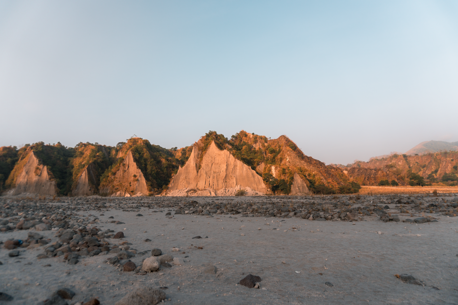
1. The Moonscape Lahar Canyons
Sapang Bato, Pampanga, Philippines
The vast, alien-like landscape you traverse was carved not by the eruption itself, but by subsequent mudflows more destructive than the initial blast.
The 4x4 ride to the trekking point cuts through sprawling lahar canyons, a surreal 'moonscape' of ash and volcanic debris. These deep channels were formed years after the 1991 eruption as torrential rains mobilized the immense pyroclastic deposits, creating devastating mudflows that reshaped entire valleys and buried communities. It’s a stark reminder of the long-term impact of volcanic activity.
2. Capas National Shrine's Reshaped Horizon
Bamban, Tarlac, Philippines
A monument dedicated to a WWII tragedy stands on land dramatically altered by Pinatubo's eruption, creating a unique historical overlap.
While not directly on the hike, the Capas National Shrine, a towering obelisk commemorating the Bataan Death March, is a significant landmark near the Pinatubo region. The surrounding plains, once agricultural lands, were inundated by lahars, permanently changing the landscape around this poignant historical site. The shrine's backdrop, now a testament to both human and geological struggle, highlights the area's layered past.

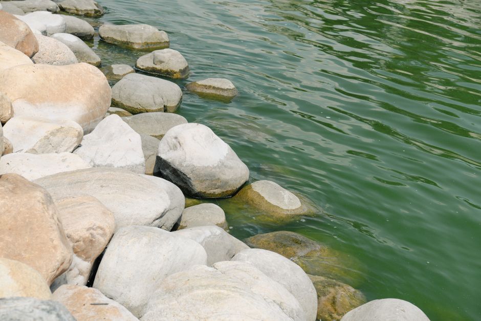
3. Mulao River Bed's Buried Secrets
Botolan, Zambales, Philippines
This wide, sandy riverbed, now a highway for 4x4s, was once a thriving valley completely buried by ash and lahar.
The bumpy 4x4 journey largely follows the Mulao River bed, a vast expanse of light grey sand and pebbles. Before 1991, this was a lush, flowing river valley. The eruption's ash fall and subsequent lahars completely filled it, raising the ground level by many meters and creating the flat, wide expanse you now drive across. It's a geological time capsule, with the original landscape buried deep below.

4. Aeta Communities' Enduring Spirit
Sitio Tarukan, Botolan, Zambales, Philippines
The resilient Aeta, indigenous inhabitants of the mountain, were displaced by the eruption but have returned, their culture woven into the ash-dusted land.
Along the trail, you might encounter Aeta people, the original inhabitants of the Pinatubo region. Devastated and displaced by the eruption, many have returned, rebuilding their lives and communities amidst the changed landscape. Their knowledge of the mountain, their traditional practices, and their deep connection to the land offer a powerful narrative of survival and adaptation that predates the 1991 event.
5. The 'Skyway' Viewpoint
Mount Pinatubo Trail, Zambales, Philippines
Before reaching the famous crater lake, a lesser-known ridge offers a unique perspective on the 'Forbidden Zone' where life struggles to return.
Midway through the hike, a specific ridge offers a commanding view over what locals call the 'Forbidden Zone' – vast, deeply eroded ravines and barren slopes that were most heavily impacted by pyroclastic flows. Even decades later, vegetation struggles to take hold in this desolate expanse, a raw testament to the eruption's immediate destructive power and the slow, arduous process of ecological recovery.
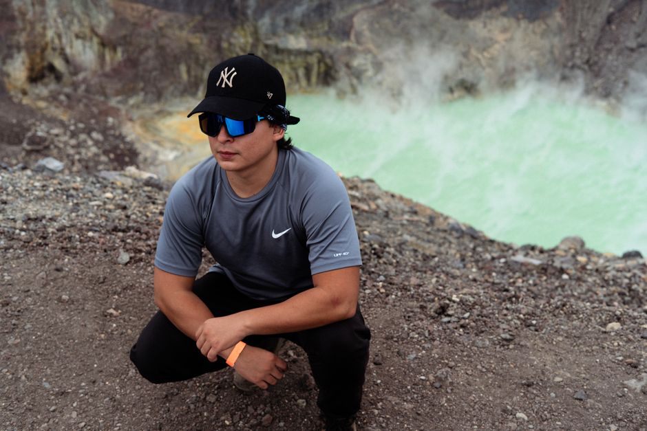
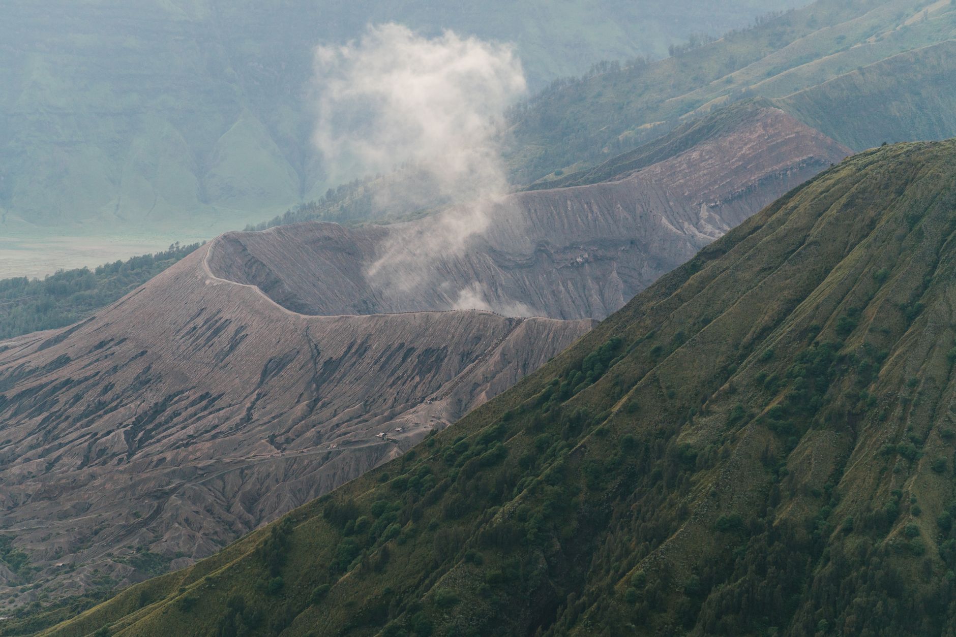
6. Traces of the Pre-Eruption Caldera
Mount Pinatubo Summit, Zambales, Philippines
While most gaze at the turquoise lake from one spot, a short, often overlooked scramble reveals faint traces of the mountain's much older, pre-eruption caldera rim.
The current crater lake sits within the caldera formed by the 1991 eruption. However, if you look closely or venture slightly beyond the main viewing platform, you can discern remnants of an older, larger caldera rim. This geological feature hints at Pinatubo's much longer and more complex volcanic history, suggesting that the mountain has undergone dramatic transformations over millennia, long before its most recent, famous event.
7. The Boulders of the 'Moonscape'
Mount Pinatubo 4x4 Trail, Zambales, Philippines
Massive boulders, some the size of small houses, were carried downstream by lahars, revealing the immense, sustained power of these volcanic mudflows.
Throughout the 4x4 route, you'll see colossal boulders scattered across the landscape. These rocks, weighing many tons, were transported miles from the crater by the powerful post-eruption lahar flows. Their sheer size and displacement illustrate the incredible erosive and carrying capacity of the mudflows, which continued to reshape the landscape for years after the main eruption, far surpassing the force of regular river currents.
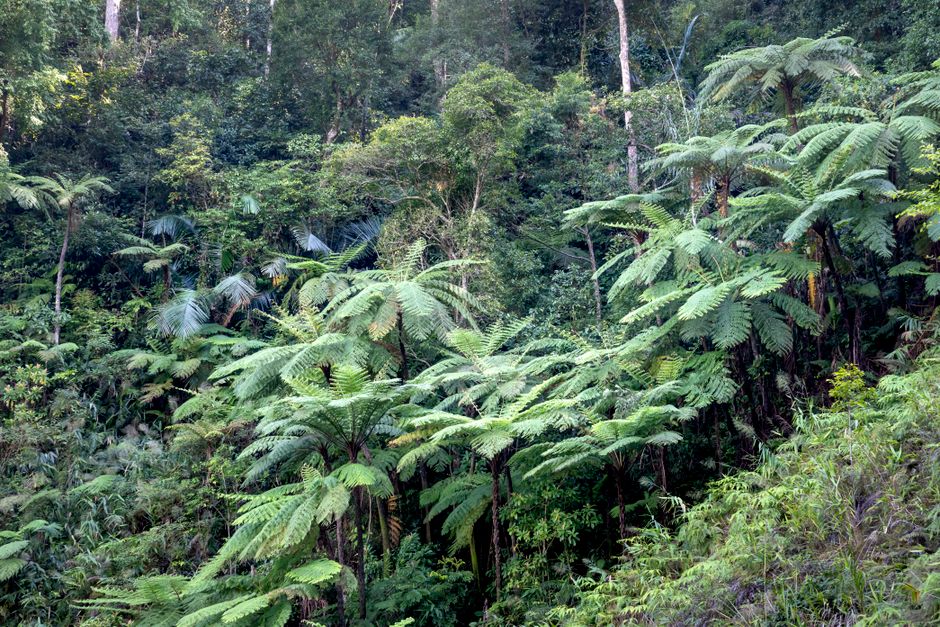
8. Green Patches of Ecological Succession
Mount Pinatubo hiking trail, Zambales, Philippines
Amidst the stark ash, isolated pockets of tenacious plant life are slowly reclaiming the slopes, signaling the long, slow return of an ecosystem.
As you trek, observe the small, vibrant green patches breaking through the grey volcanic ash. These aren't just random plants; they represent the first stages of ecological succession, where pioneer species slowly colonize and stabilize the barren land. Often found near hidden springs or in protected depressions, these resilient pockets offer a hopeful glimpse into the mountain's future, showing nature's persistent ability to regenerate even after catastrophic events.
Frequently asked questions
How difficult is the hike to Mount Pinatubo's crater lake?
The hike itself is generally considered moderate. After the 4x4 ride, it's about a 2 to 3-hour trek one-way, involving varied terrain from sandy riverbeds to rocky ascents. While not overly strenuous, it requires a reasonable level of fitness and sun exposure can be intense.
What is the best time of year to hike Mount Pinatubo?
The dry season, from November to May, is ideal for hiking Mount Pinatubo. During this period, you can expect clear skies and safer, more stable trails. It's best to avoid the rainy season (June to October) when heavy rains can cause lahars, making trails dangerous or impassable.
Do I need a guide to hike Mount Pinatubo?
Yes, it is mandatory to hire a local guide as part of organized tours to Mount Pinatubo. These guides are essential for navigation, ensuring safety on the ever-changing volcanic landscape, and often provide valuable local insights into the area's geology and culture. They are typically arranged by your tour operator.
How can AllTours.ai enhance my Mount Pinatubo experience?
AllTours.ai transforms your hike into an immersive learning journey. Simply point your phone camera at any landscape, geological formation, or even a distant Aeta village, and the app will narrate its history, geological significance, and cultural context in your preferred language. It provides deeper insights into the stories behind the sights, enriching your understanding beyond what a traditional guide might offer.
Photography via Pexels. AllTours.ai is an AI audio tour guide — point your camera at any landscape and hear its story.