September 8, 2026 · 4 min read
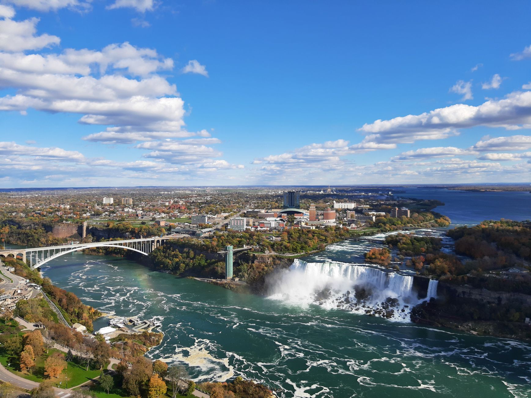
The question of 'who owns the water that flows from Canada into the United States' is far more complex and fascinating than a simple legal answer. It's a tale of shared natural heritage, intricate treaties, and surprising geographical quirks that bind these two nations.
Beyond the legal frameworks of the Boundary Waters Treaty of 1909 and the International Joint Commission, there are countless hidden stories etched into the landscapes where these waters flow. We're talking about rivers that defy simple geography, lakes with legendary creatures, and ancient waterways that have shaped human history on both sides of the 49th parallel. Here are some of the most captivating.
1. The Twice-Crossing River
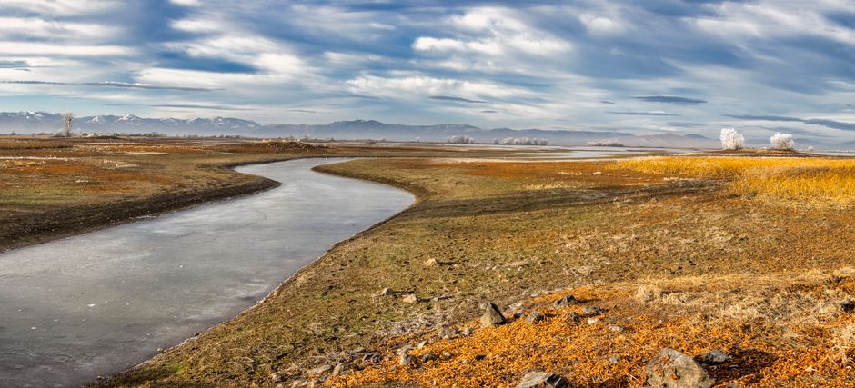
Milk River, Alberta, Canada & Montana, United States
This unique river begins in the U.S., flows into Canada, and then re-enters the U.S.
The Milk River's unusual path is a geographical anomaly, but also a testament to early 20th-century international water-sharing agreements. The Milk River Project diverts water from the St. Mary River to augment its flow, crucial for irrigation in both Alberta and Montana's drylands. This shared resource highlights the intricate legal frameworks governing transboundary waters, ensuring equitable distribution for agriculture and communities.
2. The River of Many Borders
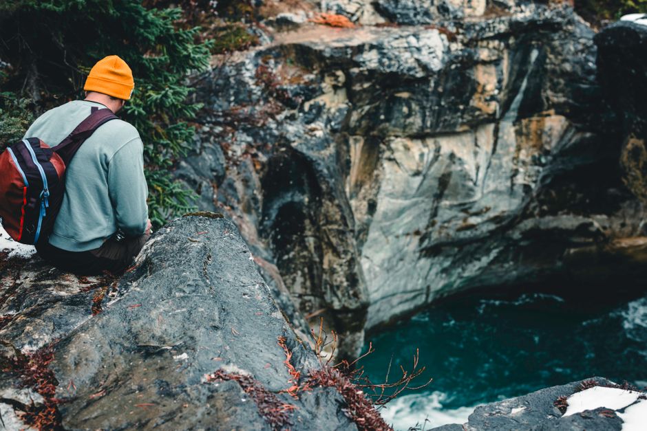
Kootenay River, British Columbia, Canada & Montana/Idaho, United States
The Kootenay River makes a dramatic U-turn, flowing from Canada into the U.S. and then back into Canada.
Originating in the Canadian Rockies, it carves through northern Montana and Idaho before returning to British Columbia, where it widens into Kootenay Lake. This convoluted path has made it central to complex hydro-power and flood control agreements, notably the Columbia River Treaty. The Libby Dam in Montana, built under this treaty, profoundly affects water levels and ecosystems far upstream in Canada.
3. A River That Defined a Nation
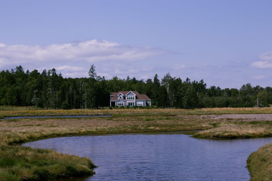
St. Croix River, Maine, United States & New Brunswick, Canada
This unassuming river was the subject of an international boundary dispute that nearly sparked conflict after the American Revolution.
Following the Treaty of Paris in 1783, the exact identity of the "St. Croix River" mentioned as the boundary between the newly independent United States and British North America was unclear. For years, settlers on both sides contested land claims until a joint commission finally identified the true St. Croix, largely thanks to evidence found on Dochet Island (now Saint Croix Island International Historic Site), where a failed French colony once stood.
4. Where Industry Meets Wilderness
Rainy River, Ontario, Canada & Minnesota, United States
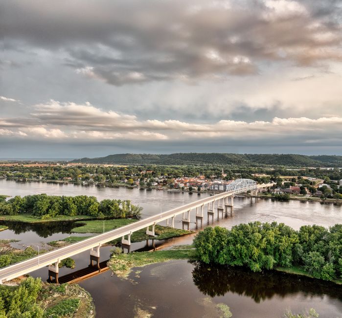
This border river, known for its powerful falls, became a powerhouse for industry and a flashpoint for environmental concerns.
Flowing from Rainy Lake into Lake of the Woods, the Rainy River is defined by its dramatic Rainy Falls, which inspired its name. The twin cities of International Falls (US) and Fort Frances (Canada) grew around these falls, harnessing their power for massive paper mills and hydroelectric dams. The river’s history is a story of economic development intertwined with the environmental challenges of pulp and paper waste, leading to ongoing cross-border efforts in water quality management.
5. The Lake of the Shared Monster
Lake Memphremagog, Quebec, Canada & Vermont, United States
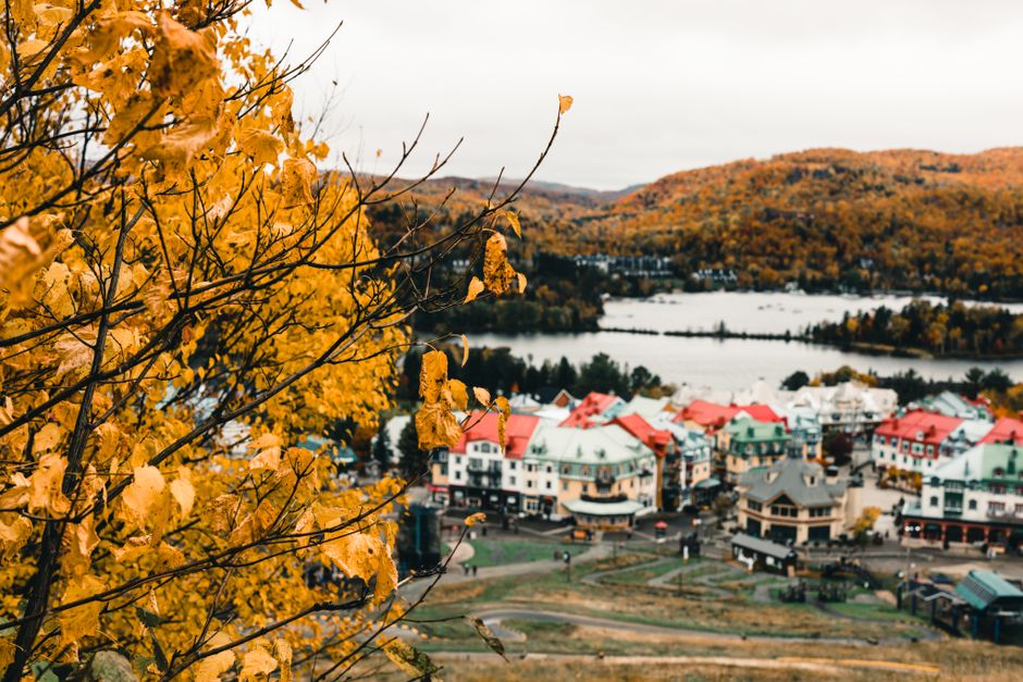
This serene lake is not only shared by two countries but also by a legendary aquatic creature named Memphré.
Stretching 42 kilometers, with three-quarters in Quebec and one-quarter in Vermont, Lake Memphremagog is a deep, pristine body of water. For centuries, tales of Memphré, a Nessie-like monster, have captivated locals on both sides of the border. Beyond cryptid lore, the lake is a vital source of drinking water for several Quebec communities, leading to robust cross-border cooperation on environmental protection and watershed management to preserve its clarity.
6. Glacial Waters of Peace
Waterton-Glacier International Peace Park, Alberta, Canada & Montana, United States
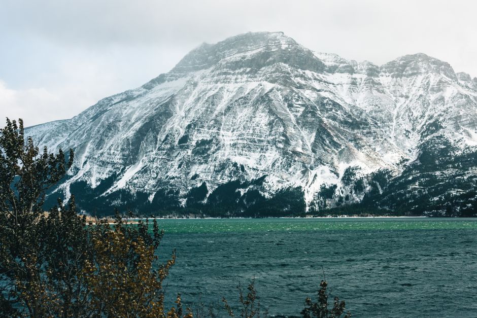
Where mountain snowmelt flows across an international boundary, sustaining the world's first International Peace Park.
This UNESCO World Heritage site, established in 1932, is a testament to shared natural heritage. The dramatic peaks and valleys of the Rocky Mountains here straddle the border, with meltwater from its receding glaciers feeding rivers that flow into both the Pacific and Atlantic watersheds. It symbolizes a commitment to peace and conservation, with its pristine waters supporting a rich biodiversity on both sides of the 49th parallel.
7. A Wild River's Cross-Border Battle
North Fork Flathead River, British Columbia, Canada & Montana, United States
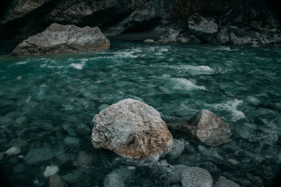
A pristine river whose future has been repeatedly threatened by proposed mining operations just across the Canadian border.
The North Fork Flathead flows south from British Columbia into Montana, forming the western boundary of Glacier National Park. This wild, undammed river is globally significant for its fish populations and water quality. For decades, plans for coal and mining projects in BC's portion of the watershed sparked intense cross-border environmental disputes, uniting conservationists and governments to protect this vital, shared ecosystem from potential pollution.
8. Prairie's Ancient Waterway
Pembina River, Manitoba, Canada & North Dakota, United States
This prairie river carves a dramatic gorge through ancient seabeds, connecting two nations with its unique geology.
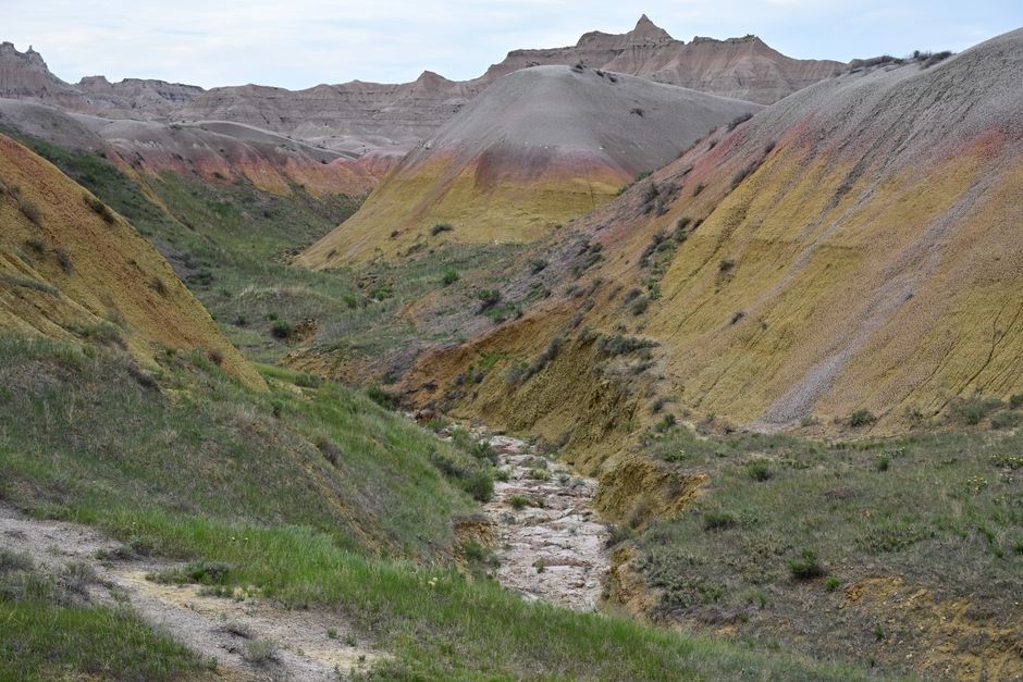
Originating in Manitoba, the Pembina River flows south into North Dakota before joining the Red River of the North. Its most striking feature is the Pembina Gorge, a deep valley cut through soft shale, revealing fossilized remains of an ancient sea that once covered the region. This ecologically rich area provides vital habitat and water for wildlife and communities, showcasing how a seemingly gentle prairie river can hold profound geological secrets shared across a border.
Frequently asked questions
Is there an international agreement for Canada-US water?
Yes, the Boundary Waters Treaty of 1909 established the International Joint Commission (IJC) to prevent and resolve disputes concerning waters shared by Canada and the United States. It ensures that waters flowing across the boundary are used and developed according to principles of equity and good faith.
Which Canadian rivers flow into the United States?
Several significant rivers flow from Canada into the United States, including the Columbia River, Kootenay River, Flathead River, St. Croix River, and the Rainy River. The Great Lakes also involve massive water flows and exchanges between the two countries.
Can I boat freely between Canada and the US on border rivers?
While many border rivers and lakes allow for recreational boating, specific regulations apply. You must report to customs and immigration officials if you land on the opposite side of the border or leave Canadian/U.S. waters. Always check current border crossing requirements and local laws before planning your trip.
How can AllTours.ai help me explore these cross-border water stories?
AllTours.ai enhances your travel experience by providing AI-powered audio tours. Point your phone camera at a landmark, river, or landscape, and the app will narrate its fascinating history, geology, and cultural significance in your preferred language, revealing the hidden stories of places like these shared waterways.
Photography via Pexels. AllTours.ai is an AI audio tour guide — point your camera at any landscape and hear its story.