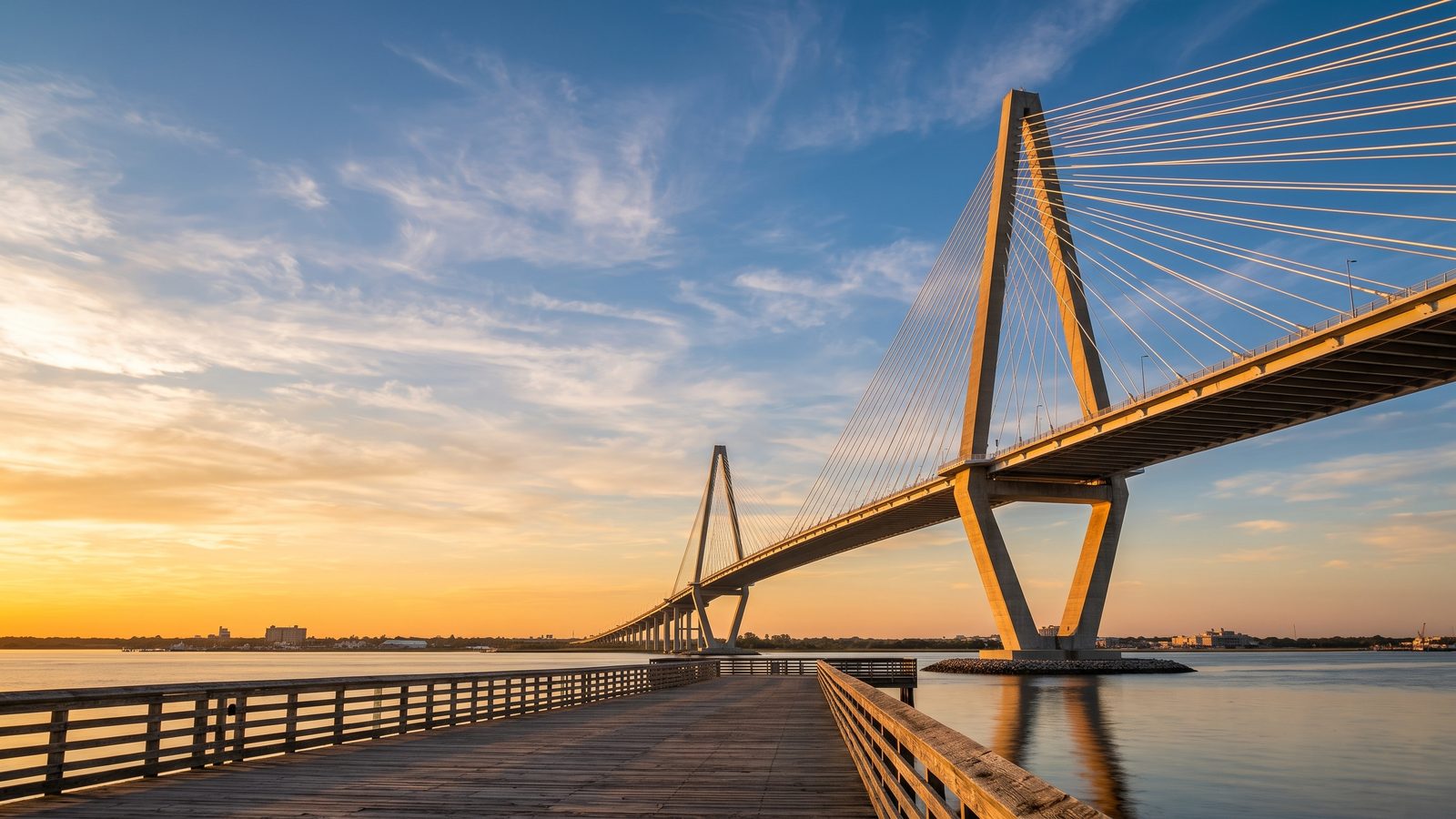
Welcome to the Arthur Ravenel Jr. Bridge, one of Charleston's most striking modern landmarks. Spanning the Cooper River, this magnificent cable-stayed bridge connects historic downtown Charleston with Mount Pleasant. As you walk or cycle along the dedicated pedestrian path, you experience soaring views of the harbor, historic shipping lanes, and iconic landmarks. Download this self-guided audio tour to hear the stories of engineering, resilience, and vision behind this impressive southern gateway.
Completed in 2005 to replace two aging truss bridges, the Ravenel Bridge quickly became a beloved symbol of South Carolina lowcountry. Step onto the trail, turn on your audio guide, and enjoy a scenic journey high above the water as towering pylon cables frame the horizon.
Listen to a sample
The opening of this tour, exactly as AllTours narrates it on site.
What you'll hear on this tour
Stop 1. Masterpiece of Modern Structural Design
As you gaze up at the soaring 575-foot dual diamond towers, you stand before a remarkable feat of cable-stayed engineering. You notice 128 precisely tensioned steel cables fanning out across the main 1,546-foot span, perfectly balancing the structure's immense load. Deep within the foundations, advanced seismic dampeners protect the bridge against Charleston's active fault lines. You can admire the aerodynamic profile of the deck, meticulously shaped to slice through hurricane-force winds with absolute stability. This soaring structure effortlessly withstands nature's extreme forces while maintaining its sleek, graceful silhouette over the Cooper River.
Stop 2. Panoramas Across Charleston Harbor
You pause along the path to take in an unmatched panoramic view of Charleston Harbor. Below you, the Cooper and Ashley Rivers merge seamlessly before flowing outward toward the vast Atlantic Ocean. You see historic downtown Charleston's iconic skyline stretching along the peninsula. Looking south, historic Fort Sumter stands sentinel in the open water, framed dramatically by the bridge's crisscrossing steel cables. As cargo ships navigate the blue waters beneath your feet, you look up to witness expansive lowcountry skies that glow during vibrant sunrises and sunsets, offering a truly unforgettable vantage point over coastal South Carolina.
Stop 3. Life Along Mount Pleasant Park
Stepping toward the base of the bridge, you enter Mount Pleasant Memorial Waterfront Park, where a 1,250-foot pier extends invitingly into the Cooper River. You watch local anglers cast their lines into the moving tides, carrying on a long lowcountry tradition. A gentle harbor breeze greets you as classic shrimp boats glide across historic waters once dominated by colonial trade vessels. Framed by the soaring bridge cables above, this serene waterfront gathering space offers a remarkably peaceful spot to pause, observe passing maritime traffic, and feel the rich coastal rhythm that continues to define Charleston today.
Stop 4. A Scenic Highway Above Water
Traversing this broad span, you experience how modern design transforms regional travel. What once required long, tedious detours now flows smoothly across eight vehicle lanes, seamlessly linking downtown Charleston with Mount Pleasant. Beside the highway traffic, you discover a dedicated pedestrian and bicycle path known as Wonders' Way. As you walk or pedal alongside the ocean breeze, the open trail offers a comfortable, elevated transit route paired with sweeping harbor views. This vital corridor connects daily commuters, active locals, and visitors alike, converting a standard trip across the river into an inspiring high-level journey.
Stop 5. Lifeline for Port and City
Looking down from the deck, you observe the massive 186-foot vertical clearance that allows giant container ships to sail freely into Charleston's busy seaport. You admire how the massive diamond pylons anchor North America's iconic cable-stayed span while keeping essential maritime trade flowing underneath. Engineered to endure Category 5 hurricane winds and powerful earthquakes, this resilient crossing protects both vital shipping channels and regional road networks. You stand atop a vital economic artery that secures the future of South Carolina's historic port city while offering an architectural masterpiece to everyone who crosses it.
Stop 6. Elegance Formed in Steel and Concrete
Examining the defining elements of the bridge, you admire the striking diamond-shaped towers rising elegantly above the water. These sculpted concrete pylons serve a vital structural purpose, anchoring a fanning array of high-strength steel cables that distribute the heavy deck weight with geometric precision. You appreciate how function merges seamlessly with beauty in every line. The sleek, aerodynamic shape of the deck allows powerful winds to pass cleanly around the structure without causing destructive movement. Every detail reflects thoughtful planning, creating an enduring aesthetic icon that elevates the lowcountry horizon.
Planning your visit
- Best time to go
- Early morning or late afternoon for comfortable walking temperatures and stunning sunrise or sunset views.
- Approximate duration
- about 1 to 1.5 hours
- Where to start
- Mount Pleasant Memorial Waterfront Park or the pedestrian access point near East Bay Street in downtown Charleston.
Access and conditions change seasonally — check the official site before you go.
Frequently asked questions
Is Arthur Ravenel Jr. Bridge worth visiting?
Yes, walking or cycling across the bridge provides spectacular panoramic views of Charleston Harbor, Fort Sumter, and downtown Charleston, making it one of the region's top outdoor attractions.
How long do you need at Arthur Ravenel Jr. Bridge?
Most visitors spend between 1 and 2 hours walking or biking along the 2.5-mile path and taking photos along the harbor vantage points.
When was the Arthur Ravenel Jr. Bridge built?
The bridge was completed in 2005, replacing two older, built-in-1929 and 1966 narrow truss bridges to better accommodate modern traffic and larger cargo ships.
Keep exploring
Header image is an AI-generated illustration of Arthur Ravenel Jr. Bridge. AllTours.ai is an AI audio tour guide — point your camera at any landmark and hear its story.