September 1, 2026 · 5 min read
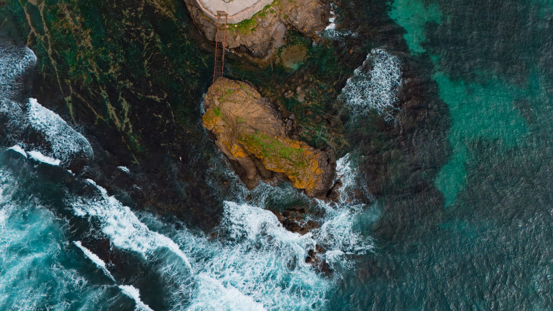
The question isn't whether sharks travel from tropical southern waters to get fueled and fattened up in Long Island; it's a resounding yes. Long Island, with its diverse coastlines, nutrient-rich bays, and productive offshore waters, serves as a crucial feeding ground and nursery for numerous marine species, including several shark species seeking an abundant summer buffet.
Beyond the well-trodden beaches and bustling summer towns, Long Island harbors a network of lesser-known spots where the ocean's stories run deep. These are places where geology shaped history, where unique ecosystems thrive, and where the unseen marine life—from the smallest baitfish to the largest apex predators—plays out its ancient drama. To truly understand why Long Island is a shark magnet, we need to look beyond the obvious.
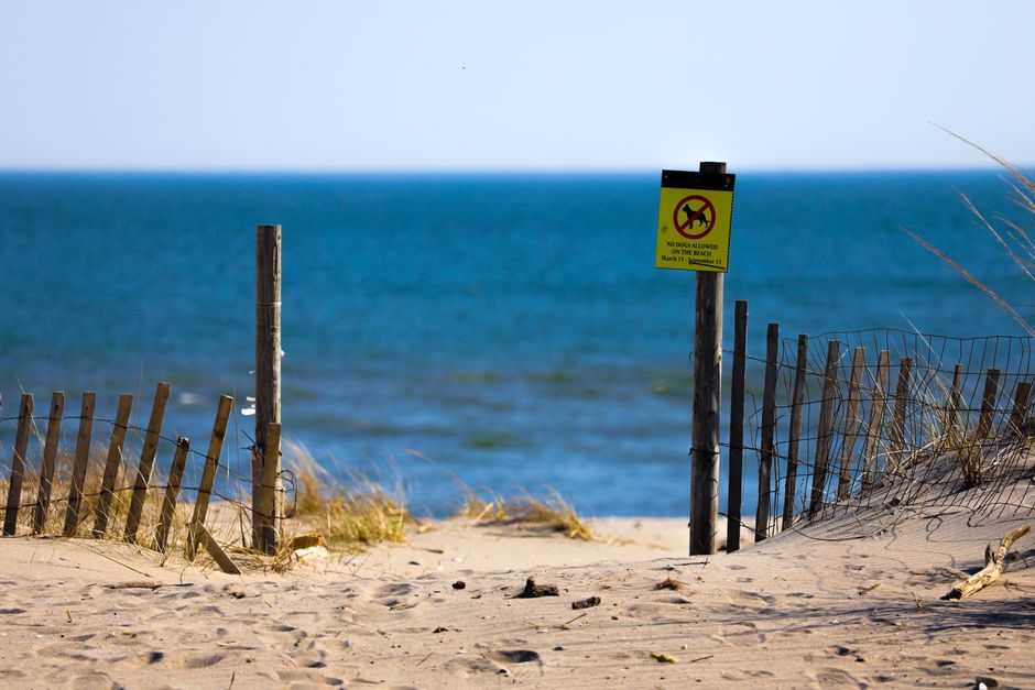
1. The Wreck's Feeding Ground
Culloden Point, Montauk, USA
Beneath the calm waters of Culloden Point lies the skeleton of a British warship, a relic now serving as an artificial reef attracting a vibrant food chain.
In 1781, the HMS Culloden, a formidable British 74-gun warship, ran aground and sank off Montauk during a fierce winter storm. Today, its submerged remains are a protected archaeological site and a thriving marine habitat. The currents around this historic wreck create eddies and provide shelter, drawing schools of baitfish, which in turn attract larger predators, making it a silent testament to both human history and natural bounty.
2. Bluffs of War and Wildlife
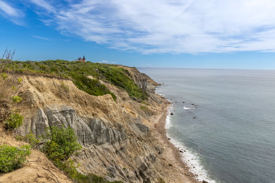
Shadmoor State Park, Montauk, USA
Dramatic bluffs at Shadmoor, once home to WWII bunkers, now offer sweeping views of an ocean highway where marine life travels and feeds.
Shadmoor State Park offers a rugged coastal experience with dramatic bluffs carved by glacial retreat and constant erosion. Less frequented than the Montauk Lighthouse, this park features remnants of WWII concrete bunkers hidden within the landscape. These high vantage points provide an unparalleled perspective of the Atlantic, offering glimpses of marine mammals and seabirds, indicating the rich life teeming in the waters below—a clear pathway for migrating fish and the sharks that follow them.
3. Shelter Island's Untouched Nursery
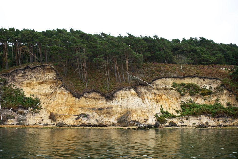
Mashomack Preserve, Shelter Island, USA
Known as the 'Jewel of the Peconic,' this vast preserve protects one of the most ecologically significant untouched coastlines in the Northeast.
Mashomack Preserve encompasses over 2,000 acres, including 11 miles of pristine coastline, wetlands, and woodlands. Its protected waters within the Peconic Estuary are a critical nursery ground for countless species of fish, shellfish, and crustaceans. This abundance of small prey creates a vital link in the food web, providing a steady supply of sustenance that supports larger marine life, making it an essential hub for the entire regional ecosystem and a prime feeding ground for anything from bluefish to juvenile sharks.

4. Pine Barrens to Plankton Rich Bay
Sears Bellows County Park, Hampton Bays, USA
This unexpected inland park, part of the Long Island Pine Barrens, plays a hidden role in nourishing the nutrient-rich Shinnecock Bay.
While not directly on the ocean, Sears Bellows County Park's unique ecosystem, dominated by pine barrens and freshwater ponds, is intimately connected to the marine environment. The park's Bellows Pond and surrounding wetlands filter and feed into the Shinnecock Bay. This freshwater input, combined with tidal flushing, creates a dynamic estuarine environment known for its high productivity. The resulting plankton blooms and thriving invertebrate populations form the base of a food chain that extends outward, supporting the schools of fish that attract larger predators to the bay's mouth.
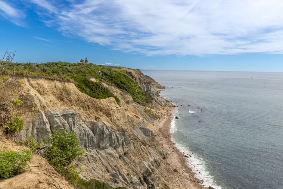
5. Cold War Watch over the Atlantic Feast
Camp Hero State Park, Montauk, USA
Perched on dramatic bluffs, this former secret Cold War radar station now silently observes a vibrant marine migration route.
Camp Hero State Park, often associated with conspiracy theories, is equally remarkable for its natural setting. Overlooking the Atlantic, the park's imposing bluffs and former military structures stand sentinel over a major marine thoroughfare. The strong currents and deeper waters offshore here create a dynamic environment where nutrient upwellings occur. This makes it a hotspot for baitfish schools and, consequently, a prime hunting ground for larger fish and the sharks that pursue them along the coast.
6. The Great South Bay's Hidden Nursery
Cedar Beach, Babylon, USA
Beyond the popular beachfront, Cedar Beach offers a glimpse into the Great South Bay, a vast estuarine system vital for countless juvenile marine species.
Cedar Beach, on the barrier island, provides direct access to the Atlantic but also offers views into the immense Great South Bay. This bay is one of the largest undeveloped estuaries on the East Coast, characterized by its shallow, productive waters. It functions as a critical nursery for a myriad of fish and shellfish, including juvenile menhaden, fluke, and blue crabs. This abundance of small prey provides a foundational food source, attracting larger fish and, eventually, a diverse array of sharks that visit the outer bay and nearshore ocean to capitalize on this rich ecosystem.
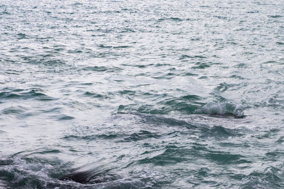
7. Gull Pond's Tidal Confluence
Orient Point State Park, Orient, USA
At the very tip of the North Fork, where two major bodies of water collide, powerful currents create a dynamic feeding ground for marine life.
Orient Point State Park, specifically the area around Gull Pond Beach, marks the dramatic confluence of Block Island Sound and Gardiners Bay. The interaction of these two massive water bodies creates powerful tidal currents and nutrient upwellings. This dynamic environment concentrates baitfish and other marine organisms, making it an incredibly productive feeding zone. It's a natural choke point for migratory species, including larger game fish and the predatory sharks that follow them on their seasonal journeys.
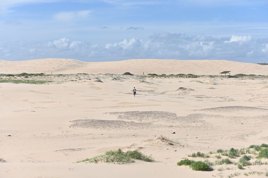
8. Shifting Sands, Sustaining Life
Dune Road, Shinnecock Bay, USA
The ever-changing barrier island dunes along Dune Road protect a vast bay, a critical feeding and breeding ground for the region's marine ecosystem.
Dune Road stretches along the barrier island separating the Atlantic Ocean from the Shinnecock Bay. This fragile strip of land, constantly reshaped by wind and sea, protects the shallow, productive waters of the bay. The dunes themselves are a testament to the powerful forces of nature that also create fertile marine environments. The Shinnecock Bay, sheltered by these dunes, is a vital nursery and foraging area, teeming with baitfish, crabs, and shellfish. This rich ecosystem spills into the ocean, drawing in larger predators, including sharks, to feed on the abundant life nurtured within the bay's protective embrace.
Frequently asked questions
Are there really sharks in Long Island waters?
Yes, Long Island's waters are home to a diverse array of shark species, particularly during the warmer months. While most encounters are with smaller, harmless species like dogfish, larger sharks like sand tigers, threshers, and even great whites are present, especially offshore.
What kind of sharks visit Long Island?
Common visitors include sand tiger sharks, often found in bays and nearshore waters, and various species of dogfish. Offshore, you might encounter blue sharks, mako sharks, thresher sharks, and occasionally, great white sharks, which are increasingly seen along the coast.
Why do sharks come to Long Island?
Sharks are drawn to Long Island primarily due to its abundant food sources. The region's bays and offshore waters are rich in baitfish like menhaden, squid, and even seal populations, providing a crucial feeding ground. Warmer summer temperatures also make these waters attractive for foraging and, for some species, pupping.
How can AllTours.ai help me explore Long Island's marine history?
AllTours.ai transforms your phone into an AI audio tour guide. Simply point your camera at any of these fascinating Long Island locations, and the app will instantly narrate its history, geology, and cultural significance in your language, bringing the stories of the land and sea to life.
Related guides
Photography via Pexels. AllTours.ai is an AI audio tour guide — point your camera at any landscape and hear its story.