September 8, 2026 · 4 min read
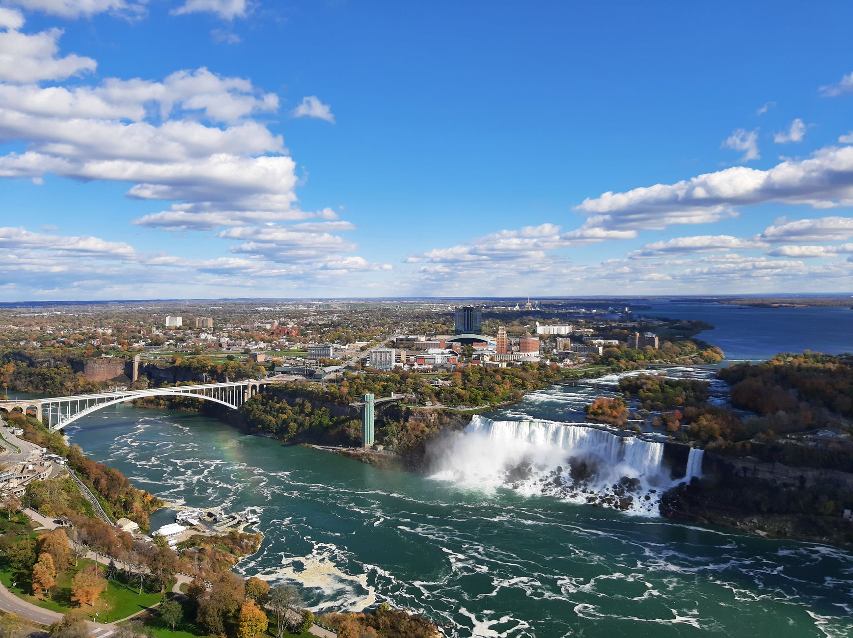
The question of who owns the water that flows from Canada into the United States might seem straightforward, but the answer is as complex and winding as the waterways themselves. It's not a simple matter of a line on a map; it involves centuries of natural processes, Indigenous heritage, international treaties, and countless individual stories woven into the very fabric of the landscape.
From the majestic Great Lakes to the lesser-known rivers and streams that crisscross the longest undefended border in the world, these shared waters are conduits of history, geology, and culture. They reveal how two nations, and the people who live along their edges, have navigated cooperation, conflict, and the sheer force of nature. Join us as we explore some of the most surprising and overlooked places where this intricate relationship plays out.
1. The River That Defined a Nation (Twice)
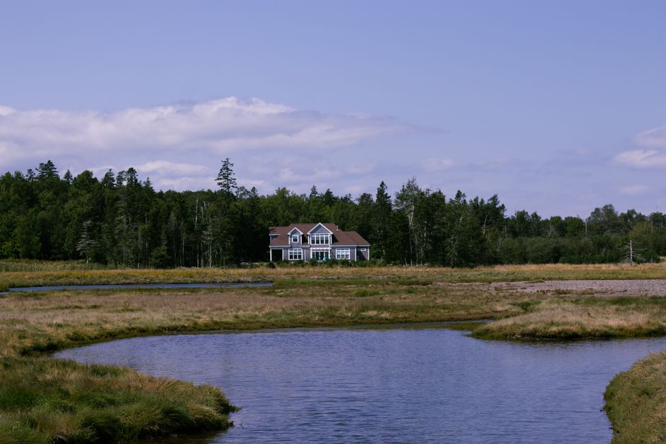
St. Croix River, Maine / New Brunswick
This river, chosen to define a national boundary, was initially misidentified, leading to decades of territorial confusion.
The 1783 Treaty of Paris declared the St. Croix River as part of the new US-Canada border. However, cartographers and diplomats were unsure which river was the 'true' St. Croix. It took years, a joint commission, and archaeological digs to finally confirm the identity of the river, settling a critical boundary dispute and shaping the landmass of both Maine and New Brunswick.
2. The River That Flows Two Ways
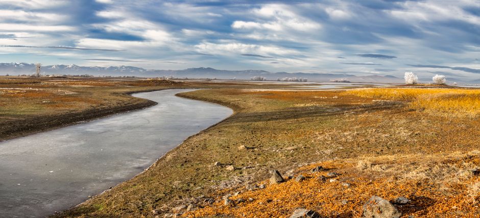
Milk River, Montana / Alberta
It's the only river in North America that originates in the US, flows north into Canada, and then makes a dramatic U-turn to re-enter the US.
Born in Montana, the Milk River meanders across the border into Alberta, where it provides vital irrigation to Canadian farmlands. Remarkably, it then pivots southwest, crossing back into Montana before eventually joining the Missouri River. This unique hydrological loop makes it a prime example of transboundary water management under the 1909 Boundary Waters Treaty, ensuring its waters are shared fairly between both nations.
3. The Lake with 14,000 Island Mysteries
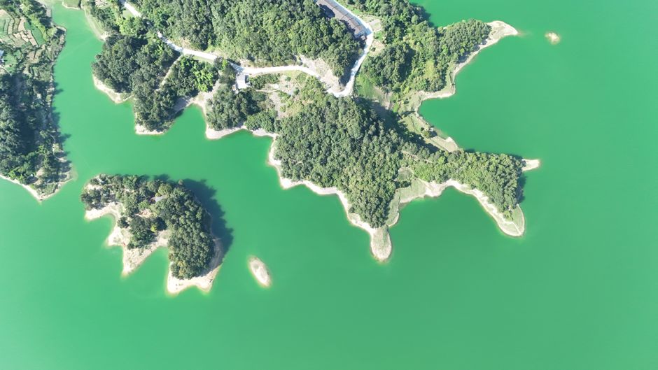
Lake of the Woods, Ontario / Manitoba / Minnesota
This vast lake’s incredibly complex geography, with over 14,000 islands, created a border so convoluted that it birthed a US exclave only accessible via Canada.
The irregular shape and countless islands of Lake of the Woods presented an unprecedented challenge for surveyors drawing the Canada-US border. The resulting zig-zagging line left the 'Northwest Angle' of Minnesota geographically detached from the rest of the contiguous United States, requiring residents and visitors to cross Canadian territory to reach it by land—a curious legacy of 18th-century treaty language and 19th-century survey limitations.
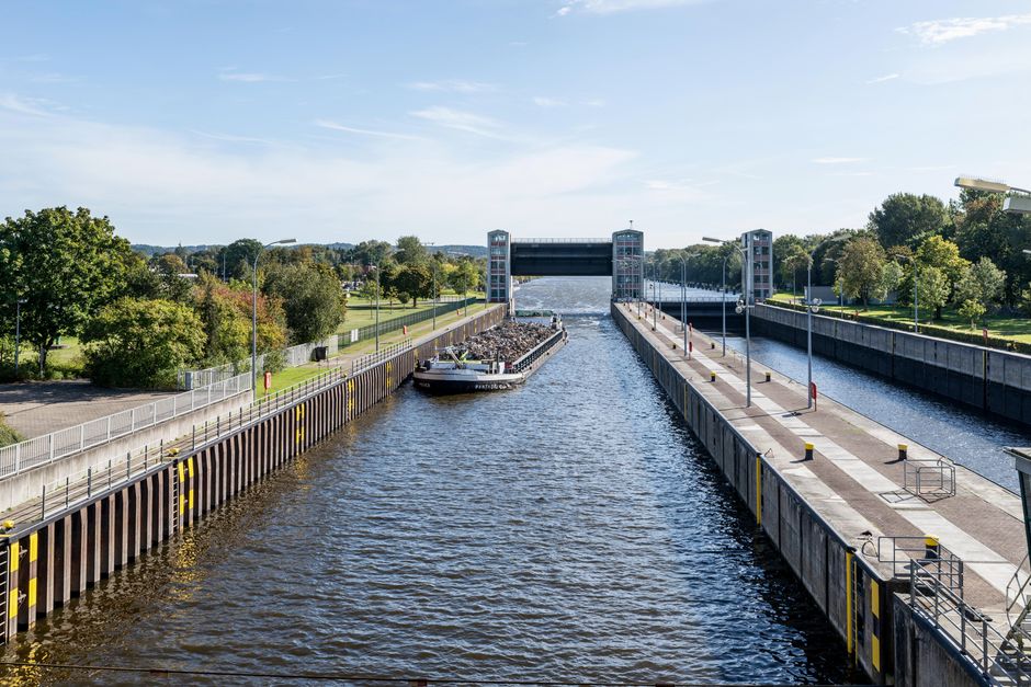
4. Where Great Lakes Commerce Divides
St. Marys River, Michigan / Ontario
This river, connecting Lake Superior and Lake Huron, was once an impassable barrier until engineering marvels unlocked the industrial heartland for two nations.
The St. Marys River naturally drops about 21 feet over a series of rapids, creating a significant barrier to shipping between Lake Superior and the lower Great Lakes. The construction of the Soo Locks, managed collaboratively by both US and Canadian entities, bypassed these rapids, transforming the Great Lakes into a unified navigable waterway. This feat of engineering facilitated immense trade, resource extraction, and industrial growth for both countries, shaping North American economies.
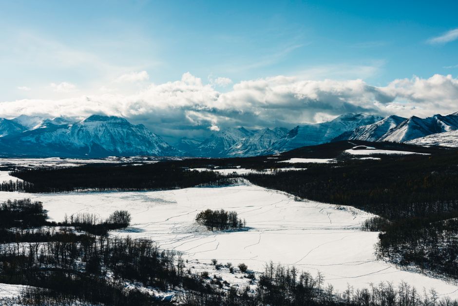
5. The World's First Transboundary Wilderness
Waterton-Glacier International Peace Park, Alberta / Montana
Designated as the world's first International Peace Park, this shared wilderness is a symbol of cross-border cooperation where the headwaters of three continental drainages converge.
Established in 1932, Waterton-Glacier uniquely symbolizes a commitment to shared conservation across the longest undefended border. Its rugged mountains and pristine waters are part of a tri-continental divide, with waters flowing to the Pacific, Atlantic, and Arctic Oceans. This shared ecosystem, managed collaboratively, demonstrates a vision of peace and environmental stewardship that transcends national lines, long before modern environmental treaties.
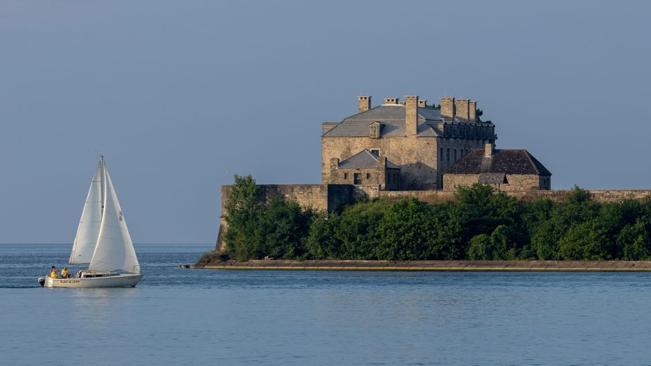
6. The River of Freedom's Final Crossing
Niagara River, Fort Erie (Ontario) / Buffalo (New York)
Beyond its famous falls, the Niagara River's calmer stretches were a perilous yet hopeful final crossing for enslaved people seeking freedom in Canada via the Underground Railroad.
While the thunderous Niagara Falls dominates its reputation, sections of the Niagara River, particularly near Fort Erie, Ontario, and Buffalo, New York, served a profound historical role. For those escaping slavery in the US, crossing this river meant reaching British North America (Canada), where slavery was abolished. Its waters, shared but not 'owned' in a way that impeded desperate crossings, became a potent symbol of the journey to freedom.
7. A Nation Divided by Borders, United by Water
Akwesasne Mohawk Territory, New York / Ontario / Quebec
This sovereign Indigenous territory uniquely spans the Canada-US border and the St. Lawrence River, creating a complex web of jurisdictions and a deep connection to shared waters.
The Mohawk Nation of Akwesasne finds itself geographically and politically bisected by both the St. Lawrence River and the international boundary between Canada and the United States. This unique situation means Akwesasne citizens navigate three jurisdictions daily. Their traditional rights to hunt, fish, and govern their waters within their ancestral territory highlight the enduring presence and sovereignty of Indigenous peoples, whose relationship with these shared waters predates any colonial lines on a map.
Frequently asked questions
What treaties govern the shared waters between Canada and the US?
The primary agreement is the 1909 Boundary Waters Treaty, which established the International Joint Commission (IJC). This treaty prevents either country from polluting or diverting boundary waters to the injury of the other and provides a framework for resolving disputes.
How are water resources managed in the Great Lakes basin?
The Great Lakes are governed by multiple agreements, including the Boundary Waters Treaty and the Great Lakes Water Quality Agreement. These focus on maintaining water levels, preventing pollution, and protecting the ecosystem through binational cooperation and the work of the IJC.
Does the US or Canada "own" the water in border rivers?
Neither country fully "owns" the water in border rivers and lakes. Instead, the Boundary Waters Treaty of 1909 establishes principles for shared use and protection. It emphasizes that boundary waters are for the common benefit of both countries, with specific rules for diversions, pollution, and navigation.
How can I learn more about these specific places and their water stories?
For a deeper understanding of these unique places and their intricate water histories, consider using an AI audio tour guide like AllTours.ai. Simply point your phone camera at a landmark or landscape, and the app will narrate its history, geology, and cultural significance in your language, bringing these stories to life.
Related guides
Photography via Pexels. AllTours.ai is an AI audio tour guide — point your camera at any landscape and hear its story.