September 3, 2026 · 4 min read
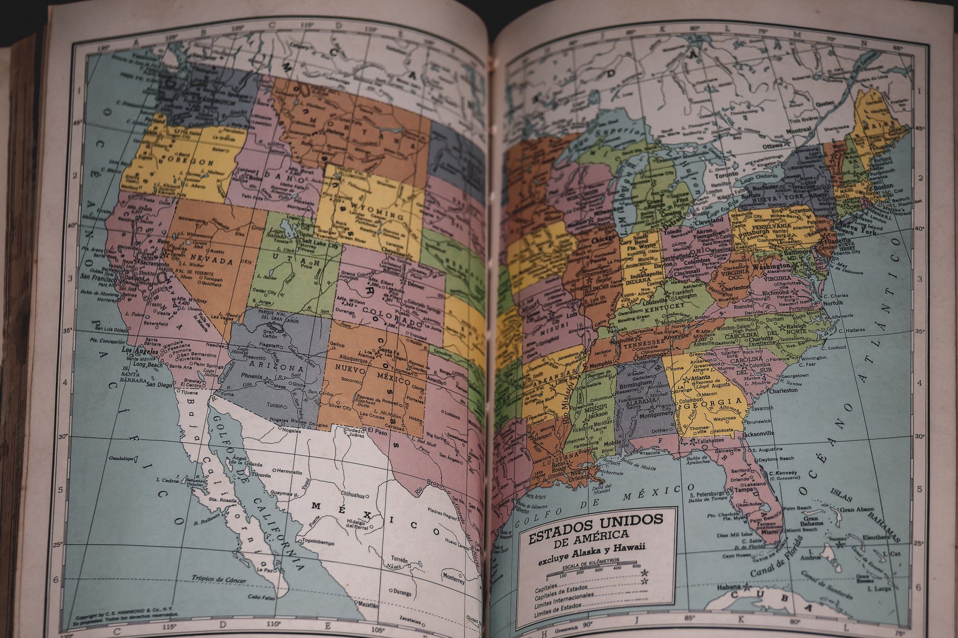
The story of West Virginia breaking away from Virginia in 1863 is a dramatic chapter in American history, born from deep divisions during the Civil War. It sparks a fascinating question: could such a political and geographical split ever happen again in the modern United States? While a full-scale state secession might seem far-fetched today, the U.S. landscape is dotted with places whose unique histories, cultures, or geographies have fostered distinct identities — and sometimes, even dreams of independence.
From forgotten republics to modern-day exclaves, these regions offer a glimpse into the fluid nature of borders and the enduring spirit of local identity. We're exploring some of the most overlooked corners of the nation, where the question of 'belonging' has taken surprising turns.
1. The Land of the Yoopers
Upper Peninsula, Michigan, USA
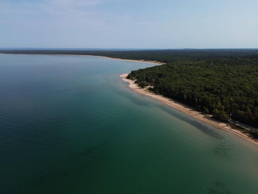
Geographically separated by the Straits of Mackinac, its inhabitants often identify more with Wisconsin than with Lower Michigan, fueling historical secession talks.
The Upper Peninsula of Michigan, known locally as "The U.P.", is a land of dense forests and rugged coastlines, culturally distinct from the rest of the state. Its residents, called "Yoopers," have a unique dialect and heritage, often feeling neglected by the state capital in Lansing. Throughout history, there have been serious proposals to form a separate state or even join Wisconsin, highlighting the deep-seated identity shaped by its isolation.
2. The Republic That Almost Was
Southern Oregon / Northern California, USA
During WWII, parts of Southern Oregon and Northern California dramatically declared independence, establishing roadblocks and electing a provisional governor.
In 1941, frustration over poor roads and perceived neglect from their respective state capitals pushed residents of this rugged bi-state region to declare themselves the 'State of Jefferson.' They set up roadblocks, armed with rifles, and proclaimed secession, electing a provisional governor. Though short-lived, with the attack on Pearl Harbor diverting attention, the movement symbolized a profound desire for self-governance and recognition from a forgotten frontier.
3. America's Canadian Island
Point Roberts, Washington, USA
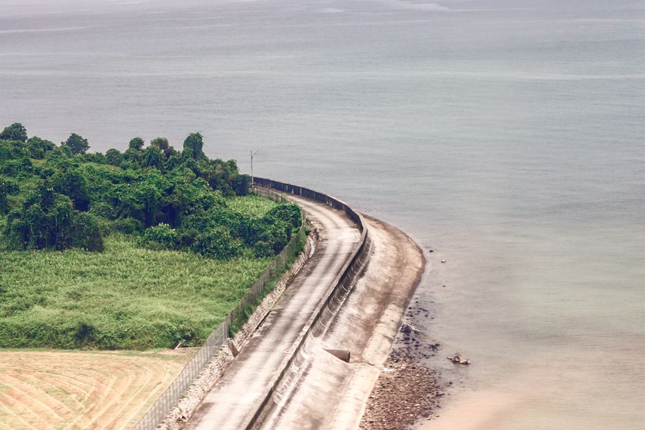
This small U.S. exclave is physically cut off from the rest of the United States, accessible only by land through Canada or by boat/plane.
Point Roberts is a geographic anomaly, a 4.9-square-mile piece of U.S. territory on the southernmost tip of the Tsawwassen Peninsula, completely detached from the contiguous U.S. Its peculiar location is a result of an imprecise 18th-century treaty defining the U.S.-Canada border along the 49th parallel. Residents must cross two international borders to reach mainland Washington, creating a unique community with a strong sense of isolation and resilience.
4. The Forgotten State of Franklin
Eastern Tennessee, USA
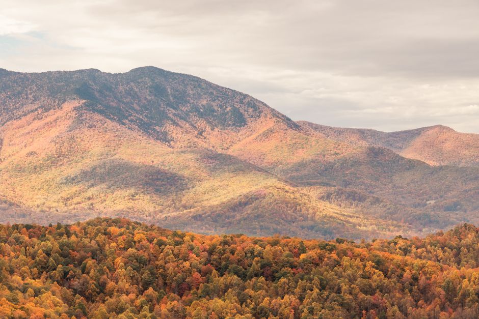
For four years after the American Revolution, a portion of western North Carolina declared itself an independent state, complete with its own constitution and governor.
Following the Revolutionary War, settlers in what is now eastern Tennessee felt abandoned by North Carolina, which had ceded their lands to the federal government. In 1784, they declared independence, forming the 'State of Franklin' and drafting a constitution. This spirited but ultimately unsuccessful endeavor saw its own government, currency, and even militia, before North Carolina reasserted control, a testament to the turbulent early days of American state-building.
5. The War Over a Strip of Land
Toledo, Ohio / Michigan, USA
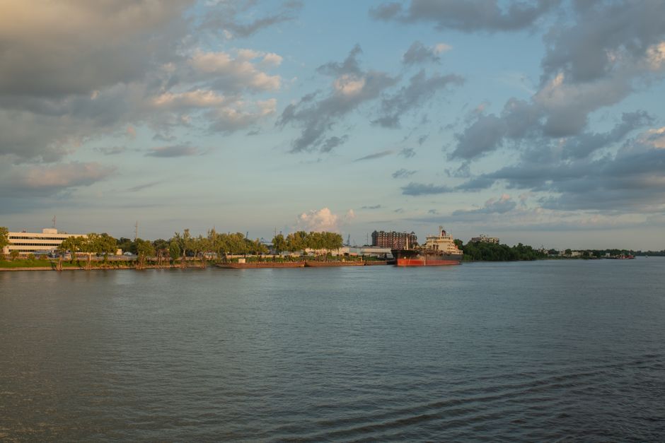
In 1835, Ohio and Michigan nearly went to war over a 468-square-mile strip of land, a conflict known as the 'Toledo War.'
The Toledo War was a mostly bloodless border dispute driven by conflicting maps and the strategic value of the Maumee River and port of Toledo. Both Ohio and the Michigan Territory claimed sovereignty over the 'Toledo Strip,' leading to legislative skirmishes, arrests, and even a few shots fired. Ultimately, Congress intervened, granting the strip to Ohio while compensating Michigan with its vast and valuable Upper Peninsula, forever altering the shape of both states.
6. Virginia's Seaborne Sister
Virginia's Eastern Shore, USA
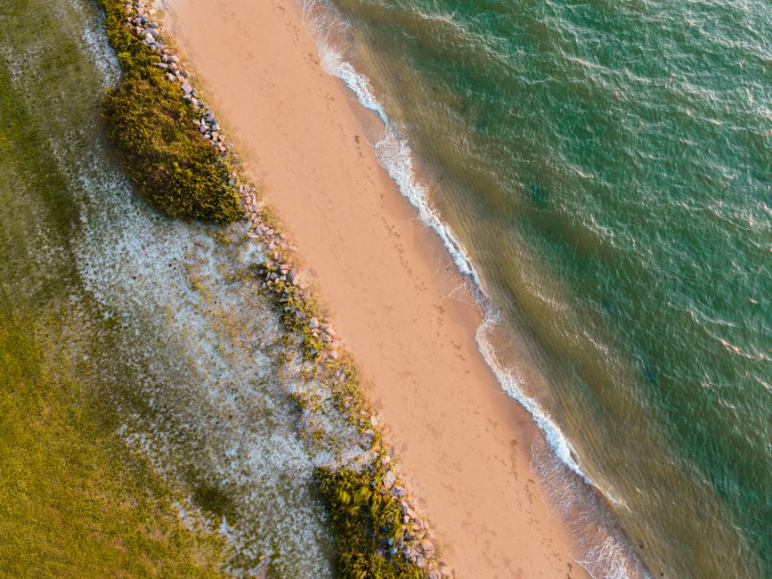
The Eastern Shore of Virginia, geographically separated from the rest of the state by the Chesapeake Bay, once considered seceding to form a new state or join Maryland.
This narrow peninsula forms the southern part of the Delmarva Peninsula, distinct from mainland Virginia both geographically and culturally. Historically, its economy and infrastructure were often more closely tied to Maryland. Proposals for the Eastern Shore to either become its own state or unite with Maryland have surfaced throughout its history, reflecting a unique identity shaped by its isolation across the vast expanse of the Chesapeake Bay.

7. The Northernmost Exclave
Northwest Angle, Minnesota, USA
The northernmost point of the contiguous U.S. is an exclave, physically detached from the rest of Minnesota and only accessible by land through Canada or over Lake of the Woods.
A cartographic curiosity, the Northwest Angle is a small chunk of Minnesota that protrudes north of the 49th parallel, creating the only part of the contiguous U.S. (besides Point Roberts) that is disconnected by land from the rest of the country. This anomaly is a result of imprecise mapping in the 1783 Treaty of Paris. Its few residents live in a unique geographic bubble, relying on Canada for overland access to the rest of their state.
Frequently asked questions
What caused West Virginia to break away from Virginia?
West Virginia separated from Virginia during the American Civil War due to deep socio-economic and political differences, particularly regarding slavery and loyalty to the Union. Delegates from western Virginia, largely anti-slavery and pro-Union, formed their own government and sought statehood.
Have there been other attempts to create new states from existing ones?
Yes, throughout U.S. history, numerous regions have attempted to form new states, often driven by geographical isolation, economic grievances, or cultural differences. Examples include the proposed State of Franklin, the State of Jefferson, and various movements in New York and California.
Are there any U.S. territories that might become states?
Currently, Puerto Rico has a significant movement for statehood, with referendums showing varying levels of support. Other U.S. territories like Guam, the U.S. Virgin Islands, and American Samoa have also had discussions about their political status, including potential statehood or enhanced autonomy.
How can AllTours.ai help me discover these unique places?
AllTours.ai transforms your smartphone into a personal AI tour guide. Simply point your camera at any landscape or landmark, and the app will instantly narrate its history, geology, and culture in your language, making it easy to uncover the hidden stories of even the most obscure locations.
Related guides
Photography via Pexels. AllTours.ai is an AI audio tour guide — point your camera at any landscape and hear its story.