September 8, 2026 · 4 min read
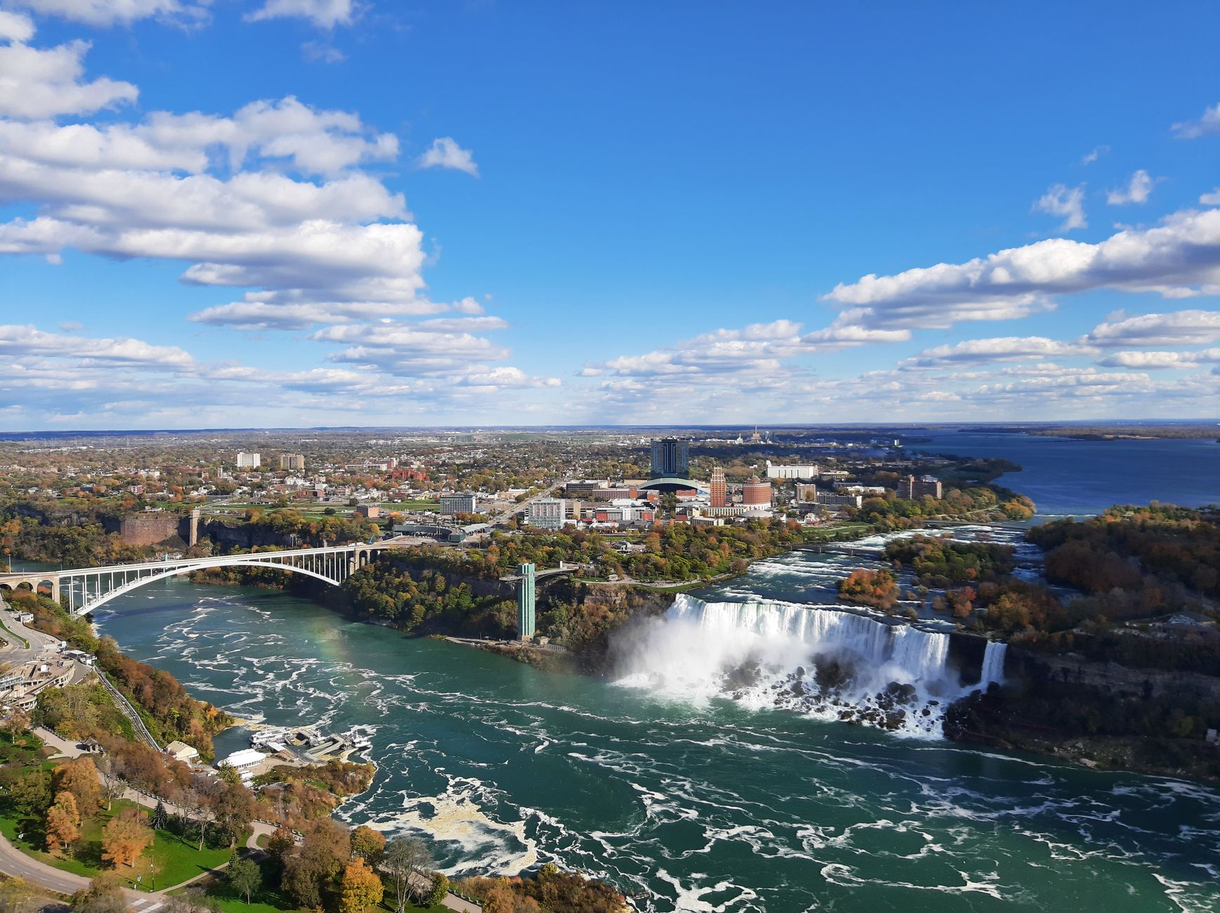
The idea of a single leader unilaterally renaming a major geographic feature like Lake Ontario sparks immediate questions about power, sovereignty, and international agreements. While a U.S. president certainly has influence, the geopolitics of shared landmarks are far more complex than domestic decrees.
Lake Ontario, like the other Great Lakes, is an international boundary water, governed by treaties and agreements between the United States and Canada. This means any official renaming would require bilateral approval, making a solo renaming highly improbable. But the question itself opens a fascinating portal to places where borders blur, ownership is contested, or nature itself reclaims the land, offering stories stranger than fiction.
1. The Disputed Puffin Paradise
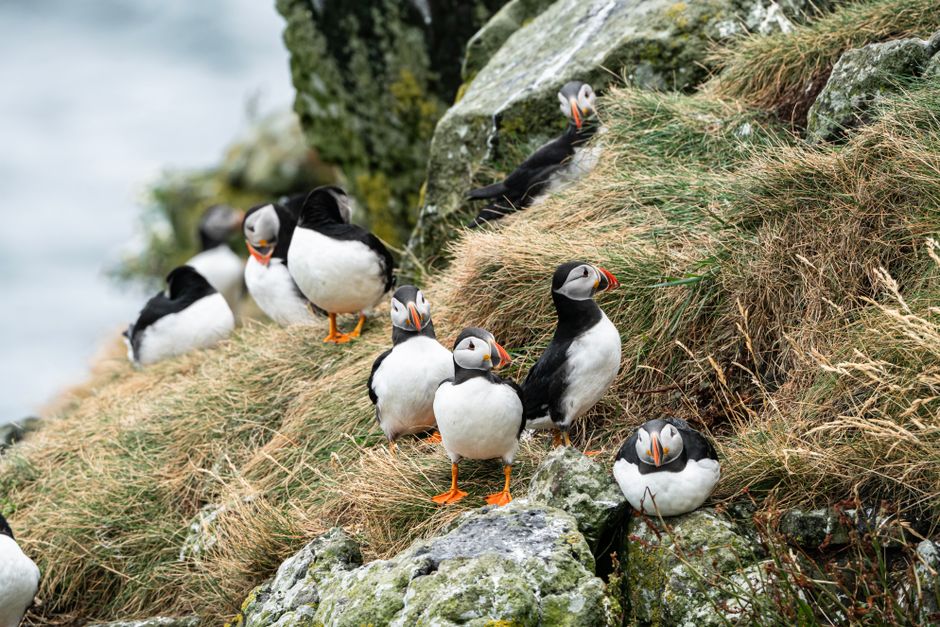
Machias Seal Island, Off the Coast of Maine, USA / New Brunswick, Canada
This tiny, windswept island is a literal tug-of-war between the U.S. and Canada, with both nations claiming sovereignty.
For over two centuries, Machias Seal Island has been a point of contention, primarily due to fishing rights and the lucrative lobster grounds surrounding it. Despite its small size, it hosts North America's only perpetually manned lighthouse, staffed by Canadian keepers. American border patrol vessels patrol the waters, creating a unique, low-key standoff over a critical puffin nesting ground that both countries officially protect.
2. America's Canadian Commute
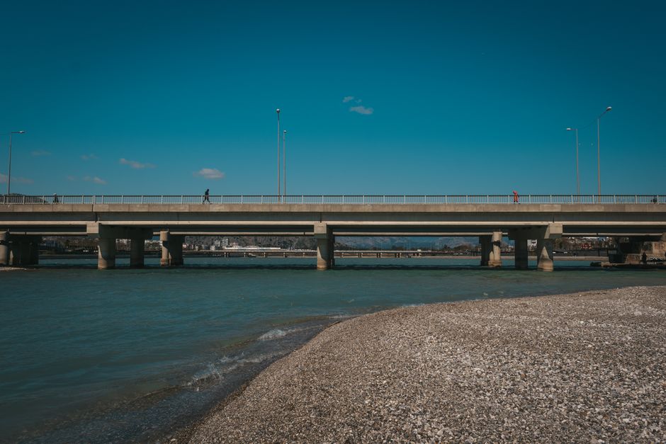
Point Roberts, Washington, USA
This American town is physically cut off from the rest of the U.S., requiring residents to cross an international border twice just to reach their own country.
A geographic anomaly, Point Roberts is a small peninsula of the U.S. state of Washington, accessible by land only from British Columbia, Canada. The 49th parallel cuts it off from the American mainland, a result of the 1846 Oregon Treaty. Its isolation means residents rely heavily on Canadian services and infrastructure, living a unique cross-border existence where daily errands involve international travel and navigating two sets of laws.
3. The Mapmaker's Mistake
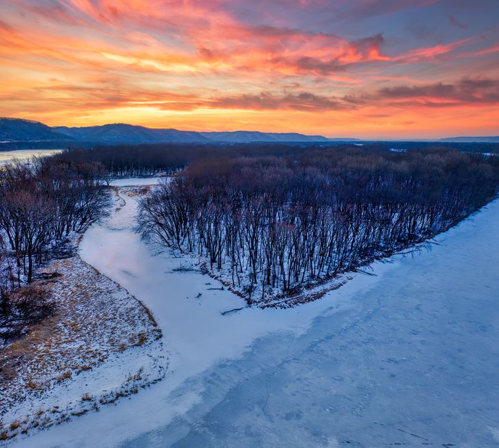
The Northwest Angle, Minnesota, USA
The northernmost point of the contiguous United States, this land anomaly exists solely due to an 18th-century mapmaking error.
The Northwest Angle in Minnesota is another U.S. exclave, separated from the rest of the country by the Lake of the Woods and the Canadian border. Its existence is a quirk of the 1783 Treaty of Paris, which defined the U.S.-Canada border as running 'through the Lake of the Woods to the northwesternmost point thereof.' Surveyors later discovered this point was north of the 49th parallel, creating the Angle. Today, it remains a remote, forested wilderness, home to a few hundred residents and a testament to historical cartographic blunders.
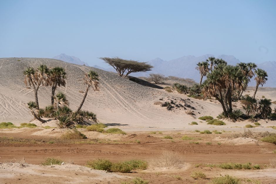
4. Earth's Unclaimed Desert
Bir Tawil, Border between Egypt and Sudan
This desolate, diamond-shaped piece of desert is one of the only truly unclaimed landmasses on Earth, shunned by both its powerful neighbors.
Roughly the size of Los Angeles, Bir Tawil is a barren, uninhabited tract of land that neither Egypt nor Sudan claims. The dispute stems from two conflicting colonial-era border maps: an 1899 agreement and a 1902 administrative boundary. Each country claims the other map, resulting in a situation where claiming Bir Tawil would mean giving up the much larger, more valuable Hala'ib Triangle. This unique paradox leaves Bir Tawil as a rare terra nullius, a place without a sovereign master.
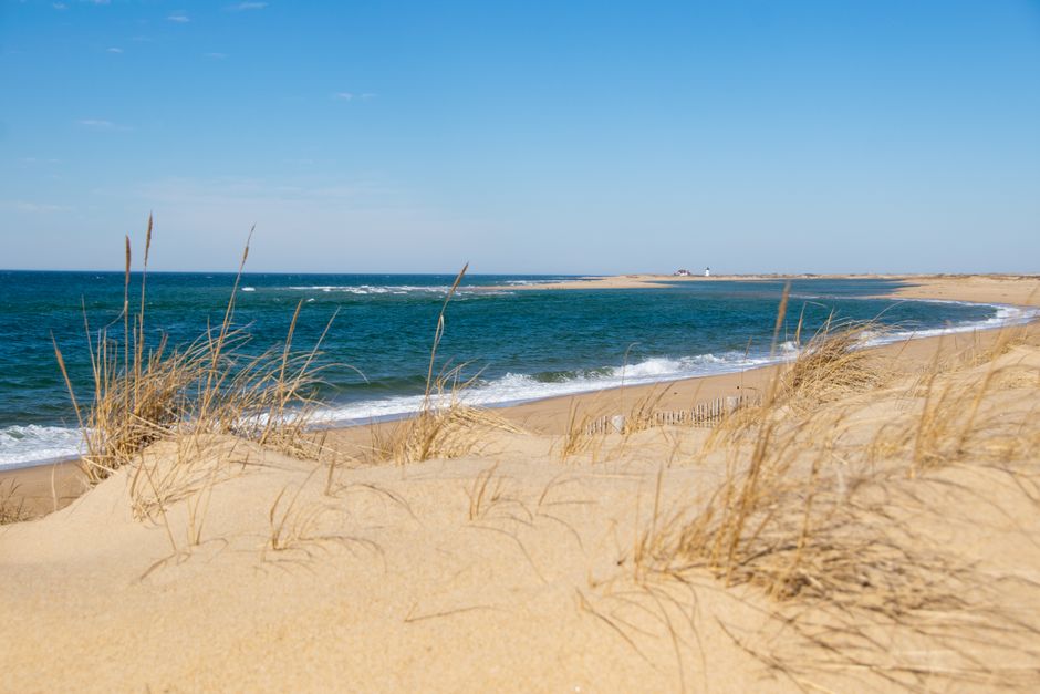
5. The Shifting Sands of Time
The Province Lands, Cape Cod, Massachusetts, USA
This protected wilderness on the tip of Cape Cod is a constantly shifting landscape, where sand dunes move meters each year, erasing and reshaping the very ground beneath your feet.
At the outermost tip of Cape Cod, the Province Lands are a dynamic testament to nature's power. Dominated by massive dunes and windswept beaches, this area is in constant motion, driven by ocean currents and powerful winds. The shifting sands frequently uncover ghost forests—ancient trees buried centuries ago—only to rebury them. This ever-changing environment, protected as part of the Cape Cod National Seashore, reminds us how even established land can be transient, making human claims feel temporary against geological forces.
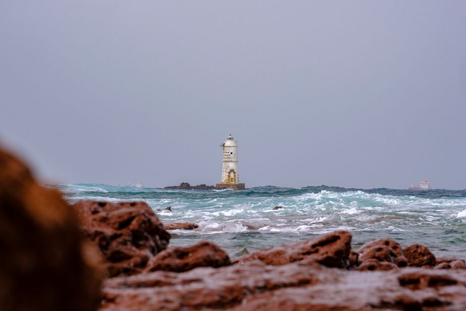
6. The Lighthouse on the Smallest Island
Bishop Rock, Isles of Scilly, UK
Holding the Guinness World Record as the smallest island in the world with a building on it, this remote rock is home to a solitary lighthouse, battling the relentless Atlantic.
Standing exposed to the full force of the Atlantic Ocean, Bishop Rock is barely more than a jagged granite outcrop, yet it supports a towering lighthouse. Construction was a monumental feat of 19th-century engineering, with waves frequently sweeping away initial attempts. The lighthouse, completed in 1858, serves as a crucial warning to shipping approaching the Isles of Scilly. Its existence on such a precarious, isolated speck of land highlights humanity's persistent efforts to tame and mark even the most inhospitable corners of the globe.
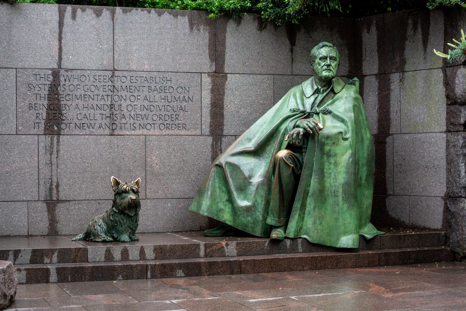
7. From Swamp to Sanctuary
Theodore Roosevelt Island, Washington, D.C., USA
Once a neglected swamp in the Potomac River, this island was transformed and renamed to honor a president who championed conservation, becoming a living memorial to his vision.
Before its dedication, this Potomac River island was known by various names—My Lord's Island, Mason's Island—and endured cycles of farming, neglect, and even military encampment. In the 1930s, the Theodore Roosevelt Association transformed it into a wild park, restoring its natural forest and marshland. Today, it serves as a tranquil memorial, featuring a large statue of Roosevelt amidst trails and native flora, a deliberate act of renaming and ecological restoration that honors a president's enduring legacy of preserving America's wild spaces.
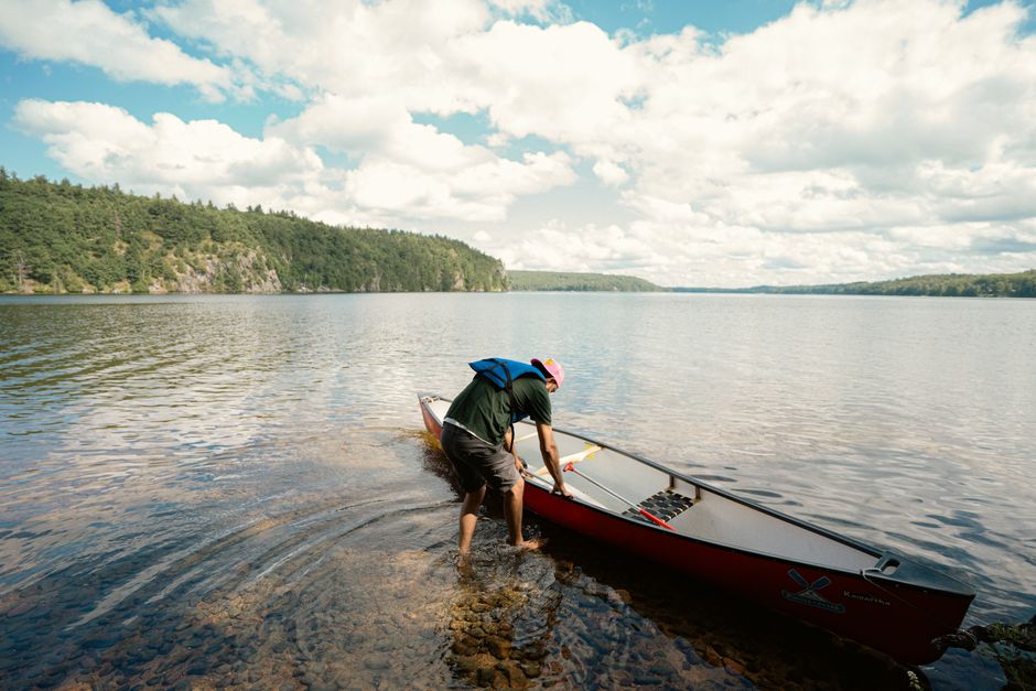
8. The Treaty-Bound Wilderness
Boundary Waters Canoe Area Wilderness, Minnesota, USA / Ontario, Canada
This vast, pristine wilderness straddling the U.S.-Canada border is protected by a unique international treaty, yet remains a battleground over competing visions for its future.
The Boundary Waters Canoe Area Wilderness (BWCAW) is a million-acre mosaic of lakes, rivers, and forests, forming the largest contiguous old-growth forest in the eastern United States. Governed by the 1909 Boundary Waters Treaty, which ensures shared water use, its pristine nature is fiercely guarded. However, beneath its surface lie rich mineral deposits, making it a constant site of conflict between conservationists who advocate for permanent protection and mining interests seeking access to its resources. This ongoing struggle underscores the complex challenges of managing internationally shared natural wonders.
Frequently asked questions
Can a U.S. president rename a shared international landmark?
No, for shared international landmarks like Lake Ontario, a U.S. president cannot unilaterally rename them. Such actions would require international agreement, typically through treaties or bilateral commissions, involving all nations that share the landmark.
What determines international borders and land ownership?
International borders and land ownership are determined by a complex interplay of historical treaties, colonial legacies, geographic features, and sometimes even surveying errors. These agreements are legally binding and form the basis of a nation's territorial claims, though disputes can arise from conflicting interpretations or historical maps.
Are there any truly 'unclaimed' lands on Earth?
Yes, Bir Tawil, a desert area between Egypt and Sudan, is a notable example of truly unclaimed land. Both countries claim a different border line, and claiming Bir Tawil would mean relinquishing a larger, more valuable territory, creating a unique situation where neither nation asserts sovereignty.
How can I discover the unique stories of places like these?
AllTours.ai helps you uncover the hidden narratives of the world around you. Simply point your phone camera at any landscape or landmark, and the app will narrate its rich history, geology, and culture in your preferred language, bringing every journey to life.
Related guides
Photography via Pexels. AllTours.ai is an AI audio tour guide — point your camera at any landscape and hear its story.