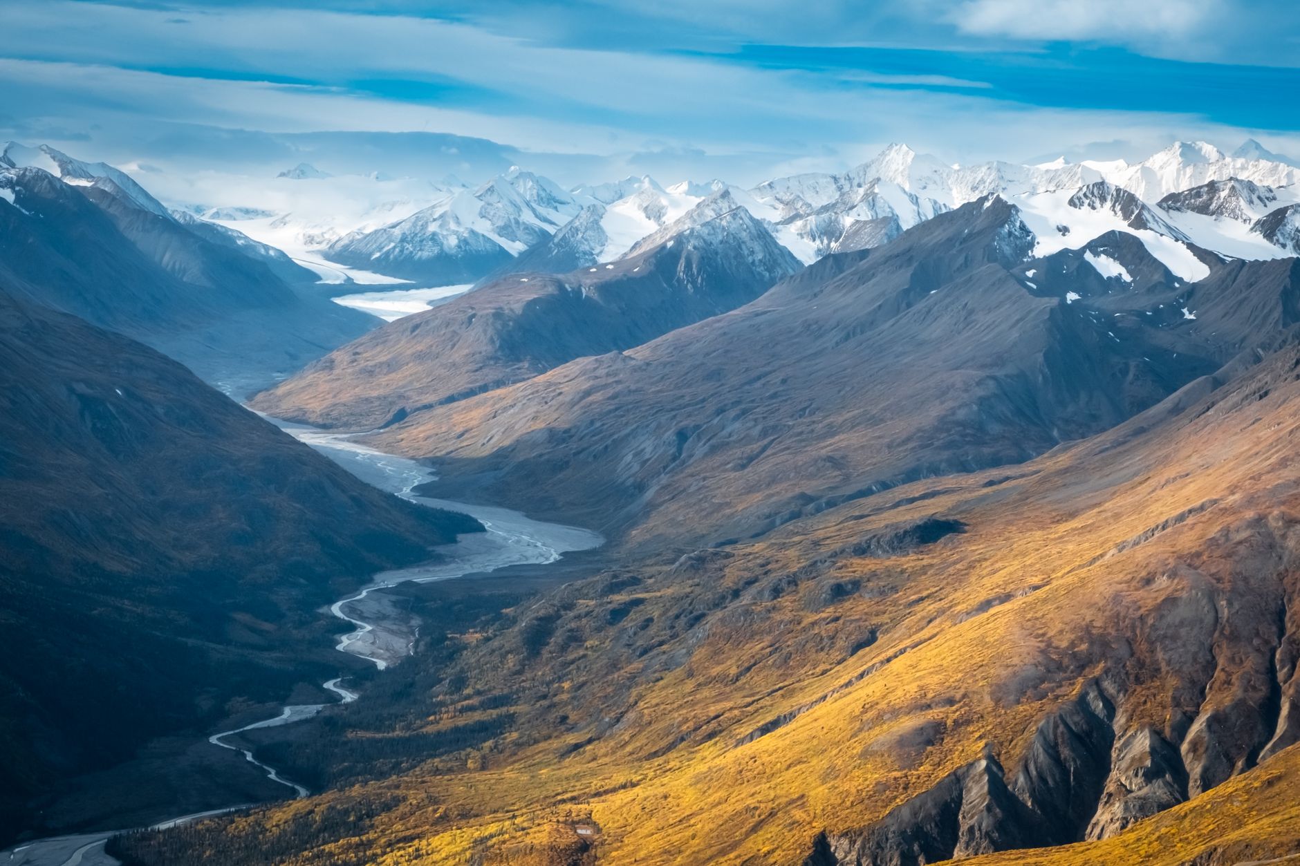
September 13, 2026 · 4 min read
The question of whether Canada has ever wanted Alaska to join it is a natural one. Separated by a vast, often rugged border, these two immense territories share more than just geography; they share a history forged by gold rushes, fur trades, and the relentless forces of nature. While formal annexation has never been a serious political aspiration for Canada, the cultural and economic ties along this frontier have always been complex and deeply intertwined.
Beyond the well-trodden paths, the borderlands between Canada and Alaska hold countless untold stories. These are places where the line on the map feels less like a barrier and more like a narrative seam, stitching together incredible tales of human endurance, geological marvels, and surprising cross-border connections. Join us as we explore some of these lesser-known gems, each with a unique hook that reveals the true character of this shared wilderness.
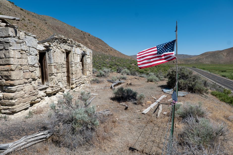
1. Dyea, Alaska: The Ghost Town Gateway
Dyea, Alaska, USA
A ghost town that once rivaled Skagway, bustling with gold rush dreams before being swallowed by the wilderness.
At the head of Taiya Inlet, Dyea was the starting point for the treacherous Chilkoot Trail during the Klondike Gold Rush. For a brief, frantic period in the late 1890s, it boasted hotels, saloons, and a population of thousands, fiercely competing with its southern neighbor, Skagway. Today, little remains but a few scattered foundations and a cemetery, a haunting testament to the rapid boom and bust that characterized this international scramble for gold.
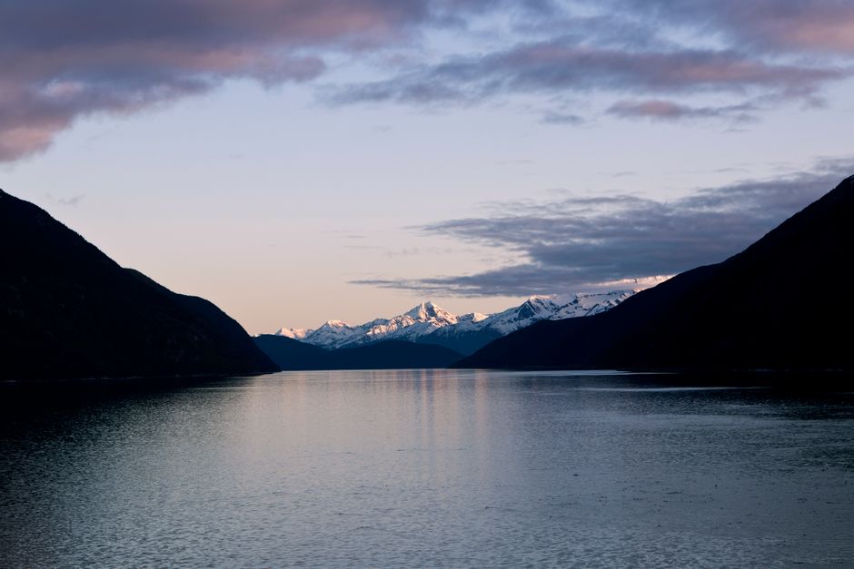
2. Hyder, Alaska & Stewart, British Columbia: The "Friendship Border"
Hyder, Alaska, USA / Stewart, British Columbia, Canada
The only Alaskan town reachable by road exclusively through Canada, sharing a school and a unique, often-unmanned border crossing.
Hyder, Alaska, is unique; its only road access is via Stewart, British Columbia. This creates an unparalleled cross-border community where residents often share services, attend the same school, and move freely between the two nations. The Canadian border post operates only part-time, and entering Hyder from Stewart often involves no formal checkpoint at all, earning it the nickname 'The Friendliest Ghost Town in Alaska' – a nod to its dwindling population and welcoming spirit.
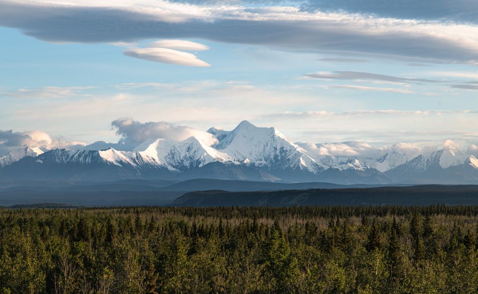
3. Fort Yukon, Alaska: A Hudson's Bay Foothold
Fort Yukon, Alaska, USA
An interior Alaskan town founded by British fur traders, showcasing an early, surprising Canadian presence far from any modern border.
Long before Alaska was American, Fort Yukon was established by the British Hudson's Bay Company in 1847. It was their westernmost trading post, deep within what they believed was Rupert's Land. For years, the Union Jack flew over this remote outpost, highlighting the historical reach of British (and thus, Canadian) influence into the far North American interior. The town today remains a significant Gwich'in Athabascan community, a vibrant hub along the Yukon River.
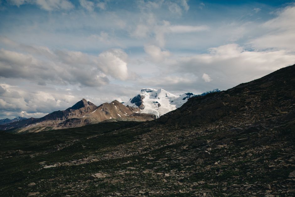
4. Tatshenshini-Alsek Wilderness Park, BC: A Glacier's Diplomatic Path
Tatshenshini-Alsek Provincial Park, British Columbia, Canada
A vast, pristine wilderness where glaciers carve landscapes that span two countries, holding ancient secrets and requiring international diplomacy.
This UNESCO World Heritage site, bordering Alaska's Glacier Bay and Wrangell-St. Elias National Parks, nearly became a massive open-pit copper mine in the early 1990s. An international outcry, led by environmentalists and Indigenous groups, ultimately convinced the British Columbia government to declare it a protected wilderness. This diplomatic success ensured the preservation of a crucial migratory corridor for grizzly bears and a unique glacial ecosystem that respects no national boundaries.
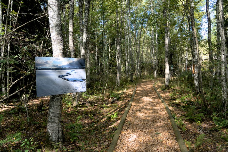
5. Dalton Trail, Yukon/BC/Alaska: The Cattle Drive to Gold
Dalton Trail, Yukon/British Columbia/Alaska
A historic pack trail, less famous than its Chilkoot cousin, where entrepreneurial cattle drivers carved an alternative route through rugged wilderness, linking Alaskan ports to Canadian gold.
Named after Jack Dalton, a remarkable entrepreneur, the Dalton Trail offered an alternative to the Chilkoot and White Pass routes during the Klondike Gold Rush. Dalton famously drove cattle and supplies along this demanding route from Haines, Alaska, through British Columbia, and into the Yukon. It was a vital, though often brutal, supply line, demonstrating the ingenuity and grit required to connect distant goldfields with Alaskan ports, often across vast, unmapped territories.
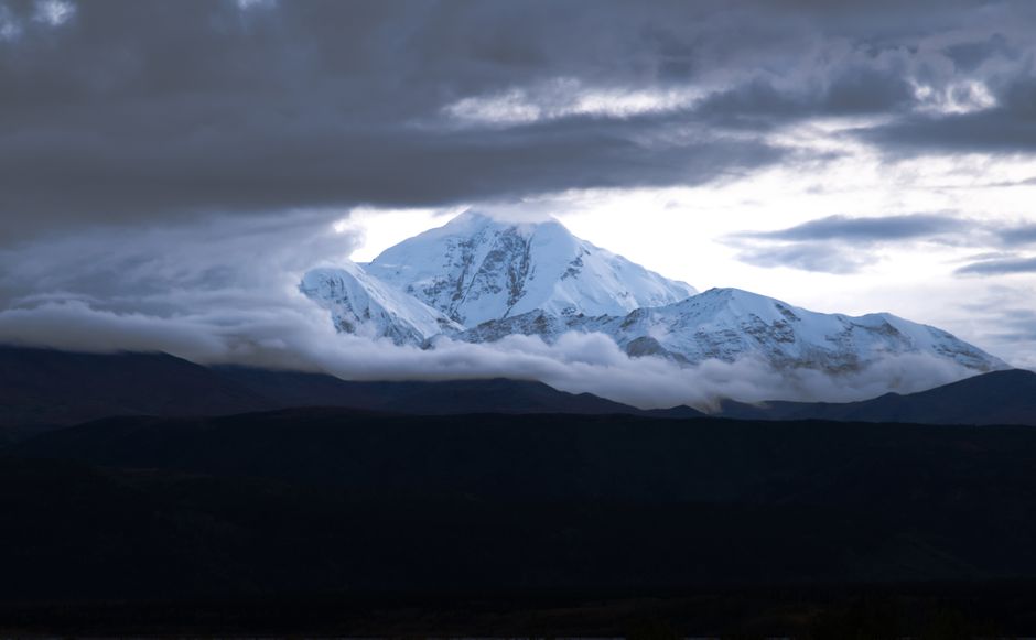
6. Boundary Peak 182, St. Elias Mountains: Where Empires Met Ice
Mount Saint Elias Region, Alaska, USA / Yukon, Canada
The towering Mount Saint Elias region, where the international boundary was defined by a complex geological and diplomatic dance, rather than a simple line.
The precise location of Boundary Peak 182, one of many markers along the 141st meridian, represents a fascinating point in border history. The Alaska Boundary Dispute, settled in 1903, determined that the border would follow the summits of the coastal mountains, creating a jagged, geologically defined line through the St. Elias Range. This decision, influenced by the gold rush, solidified a boundary that still cuts through some of North America's most formidable icefields and peaks, a testament to the challenges of surveying such a wild frontier.
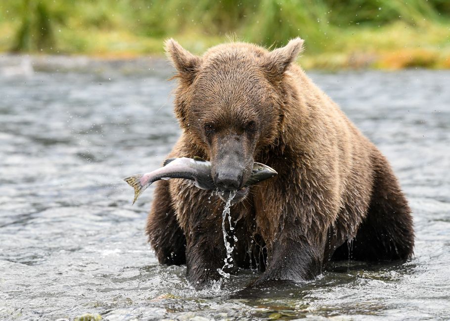
7. Dry Bay, Alaska: A Tlingit Outpost on the Wild Coast
Dry Bay, Alaska, USA
A remote Alaskan fishing outpost at the mouth of the powerful Alsek River, embodying a centuries-old Tlingit heritage and a vital link to the interior.
Dry Bay, a small, isolated community on Alaska's Gulf Coast, is historically significant for its Tlingit fishing camps and as the terminus of the Alsek River. This mighty glacial river, originating in Canada, carves its way through Tatshenshini-Alsek Park and Wrangell-St. Elias National Park before reaching the Pacific here. For generations, Tlingit people have harvested salmon at Dry Bay, maintaining cultural traditions that connect them intimately to both the Alaskan coast and the Canadian interior via the Alsek's vast watershed.
Frequently asked questions
Why isn't Alaska part of Canada?
Alaska was purchased by the United States from Russia in 1867. At that time, Canada was not yet a unified nation, and Great Britain, which controlled Canadian territories, did not pursue the acquisition. The strategic interests of the US in expanding its western frontier ultimately led to the purchase, solidifying Alaska's status as a US territory.
What's the historical relationship between Canada and Alaska?
The relationship is largely defined by shared geography and resources. The fur trade, particularly by the Hudson's Bay Company, saw early Canadian influence deep into what is now Alaska. The Klondike Gold Rush brought a massive influx of people through Alaskan ports into the Canadian Yukon, fostering economic and logistical interdependence. Today, it's characterized by shared environmental stewardship, tourism, and a unique cross-border community spirit in towns like Hyder/Stewart.
Are there any towns that straddle the Canada-Alaska border?
While no town literally sits on top of the border line, the communities of Hyder, Alaska, and Stewart, British Columbia, function almost as a single entity. They are geographically intertwined, with Hyder only accessible by road through Canada, leading to shared services and a strong sense of community despite being in different countries.
How does the AllTours.ai app work in these remote border regions?
AllTours.ai uses advanced AI to identify landmarks, natural features, and historical sites even in remote areas. Simply point your phone camera at a mountain range, a river, or a historic ruin, and the app will provide a rich audio narration of its history, geology, and cultural significance, often working offline to ensure you have information regardless of cell service.
Related guides
Photography via Pexels. AllTours.ai is an AI audio tour guide — point your camera at any landscape and hear its story.