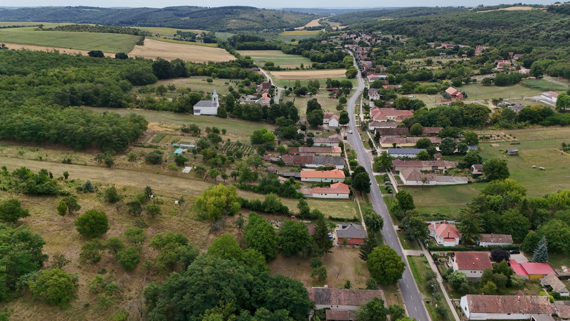
July 28, 2026 · 4 min read
Wildfires are an increasing concern across Europe, but the strategies to prevent, manage, and recover from them vary dramatically. Beyond the dramatic headlines, a quiet revolution is happening in how communities and nations adapt to this fiery challenge. It's a complex tapestry woven with threads of ancient wisdom, innovative technology, and sheer human determination.
This guide takes you off the well-trodden paths to uncover lesser-known European spots, each with a unique story that illuminates how European countries compare in terms of their planning for wildfires. From remote mountain wildernesses grappling with rewilding's fire risks to coastal communities integrating traditional practices, these places reveal the ingenuity and challenges facing a continent on the front lines of climate change.
1. Portugal's Ancient Firebreaks
Montesinho Natural Park, Portugal
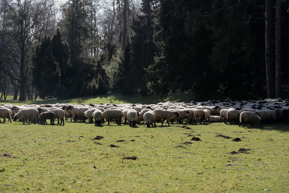
In Portugal's wild north, ancient communal grazing practices are proving to be unexpectedly effective fire prevention tools.
Montesinho Natural Park is a remote region where traditional transhumance, the seasonal movement of livestock, still shapes the landscape. Local shepherds graze sheep and goats through dense scrubland, inadvertently clearing undergrowth that could otherwise fuel devastating fires. This low-tech, high-impact method, rooted in centuries of land use, highlights a country seeking to integrate heritage into its modern fire management strategies.
2. Spain's Laurel Forest Resilience
Garajonay National Park, La Gomera, Spain
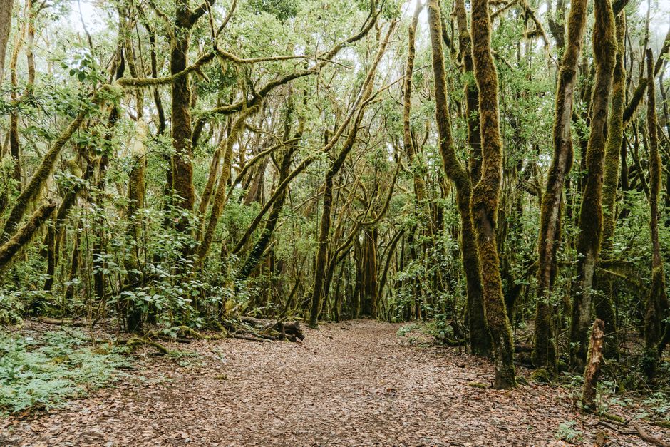
On a misty Canary Island, a unique relict forest offers a masterclass in post-fire ecological recovery and research.
Garajonay National Park, a UNESCO World Heritage site, protects the largest continuous area of laurisilva, a subtropical cloud forest. In 2012, a devastating fire scorched a significant portion of this ancient ecosystem, prompting intense scientific and conservation efforts. Spain's planning here focuses on detailed ecological monitoring, understanding natural regeneration processes, and implementing targeted restoration to protect this globally rare habitat from future threats.
3. Greece's Marble Shield
Thassos Island, Greece
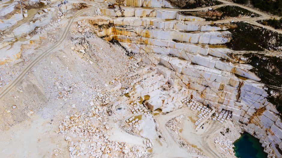
This Aegean island's natural marble deposits provide an unexpected, geological advantage in its ongoing battle against forest fires.
Thassos, famous for its white marble quarries and lush pine forests, has frequently faced summer wildfires. However, the island's abundant marble rock formations and quarrying scars often create natural firebreaks, slowing the spread of flames through the dense vegetation. This geological feature, combined with local community vigilance and updated forest management plans, illustrates Greece's adaptive strategies, blending natural landscape features with human intervention.
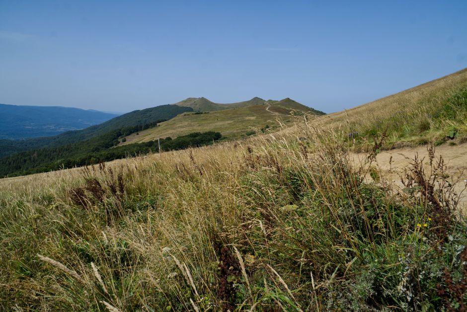
4. Poland's Wilderness Fire Challenge
Bieszczady Mountains, Poland
In Europe's 'wild east,' managing fires in vast, rewilded forests presents unique challenges for conservation and planning.
The Bieszczady Mountains, a remote range in southeastern Poland, are home to Europe's last wild bison and a rapidly rewilding landscape. As forests grow denser and human presence diminishes, managing potential wildfires becomes a complex task. Poland's strategy here involves remote sensing, specialized wilderness fire teams, and a focus on protecting critical wildlife habitats, highlighting a different scale of fire planning compared to more populated regions.
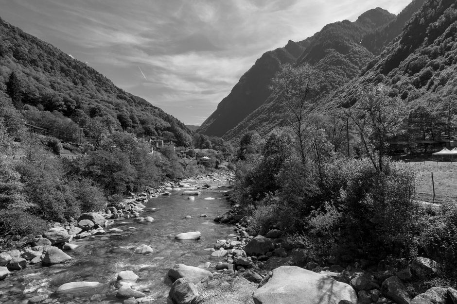
5. Italy's Depopulation Dilemma
Val Grande National Park, Italy
Europe's largest wilderness area, once depopulated, now grapples with managing increased fuel loads and fire risk in its rewilded valleys.
Val Grande National Park, nestled in the Italian Alps, was largely abandoned in the mid-20th century. While offering unparalleled wilderness, the subsequent reforestation and accumulation of biomass have significantly increased wildfire risk. Italy's planning here involves balancing wilderness preservation with active fuel management, researching historical fire regimes, and exploring controlled burns to prevent larger, more destructive conflagrations in its inaccessible terrain.
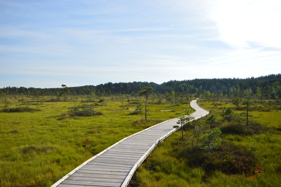
6. Germany's Peat Fire Prevention
Spreewald Biosphere Reserve, Germany
Amidst a unique network of waterways, Germany confronts an entirely different kind of fire threat: deep-seated, persistent peat fires.
The Spreewald is a UNESCO Biosphere Reserve crisscrossed by hundreds of small canals, a landscape defined by its wetlands and traditional punt boats. While not prone to forest fires, the area faces the unique danger of peat fires, which can smolder underground for weeks or months, releasing significant emissions. Germany's planning involves meticulous water level management to keep peat saturated, early detection systems, and specialized techniques for extinguishing these stubborn, subsurface blazes.
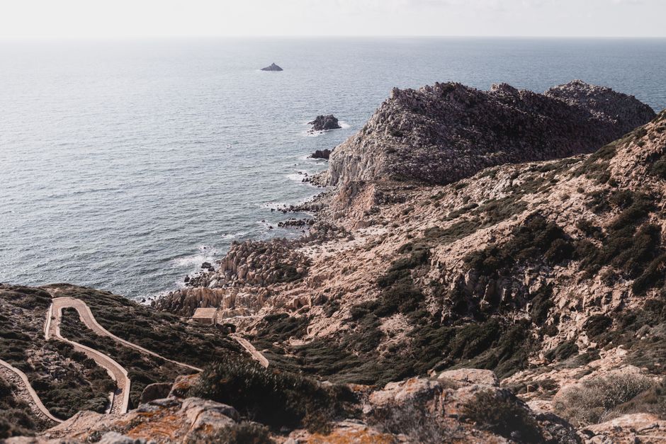
7. Sardinia's Integrated Fire Defense
Barbagia Region, Sardinia, Italy
In Sardinia's rugged heartland, ancient pastoral routes are being integrated into cutting-edge fire prevention strategies.
The Barbagia region of Sardinia, known for its dramatic landscapes and strong cultural traditions, experiences frequent and intense wildfires. Italy's approach here combines modern technology with traditional knowledge: mapping old shepherd trails and agricultural clearings to serve as strategic firebreaks and access routes for firefighters. This integration of historical land use patterns into contemporary GIS-based planning offers a robust defense against encroaching flames.
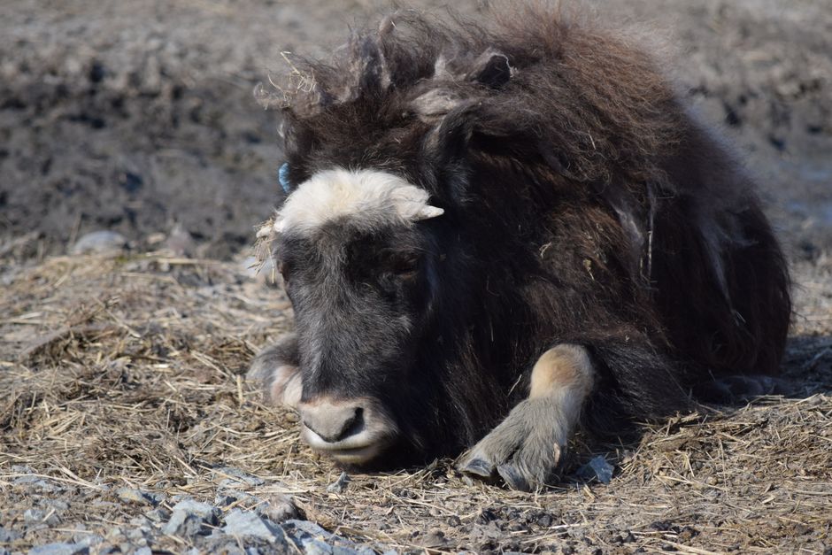
8. Norway's Arctic Fire Adaptation
Dovrefjell-Sunndalsfjella National Park, Norway
Where musk oxen roam, a changing climate is introducing unprecedented wildfire risks to Norway's high-altitude tundra.
Dovrefjell-Sunndalsfjella National Park is a majestic landscape of high mountains and vast tundra, traditionally not considered a high-risk wildfire zone. However, warmer temperatures and drier conditions are leading to increased vegetation growth and a higher incidence of lightning-sparked fires. Norway's planning involves monitoring climate shifts, educating visitors on fire safety in vulnerable ecosystems, and developing strategies for managing fires in remote, high-altitude environments previously thought immune.
Frequently asked questions
What are common causes of wildfires in Europe?
While natural causes like lightning strikes occur, a significant majority of European wildfires are human-caused, often due to accidental ignition from agricultural burns, discarded cigarettes, recreational activities, or even arson. Climate change exacerbates these risks by creating hotter, drier conditions that increase flammability.
How do traditional land management practices help prevent wildfires?
Traditional practices like controlled grazing, selective clearing of undergrowth, and maintaining mosaic landscapes (interspersed fields, forests, and pastures) can significantly reduce fuel loads. These methods create natural firebreaks and limit the continuous spread of flames, proving valuable even in modern wildfire prevention strategies across Europe.
Are northern European countries also affected by wildfires?
Yes, increasingly so. While Mediterranean countries traditionally face the highest risk, climate change is extending fire seasons and increasing intensity in northern regions. Areas like Scandinavia and parts of Central Europe are experiencing more frequent and severe wildfires in ecosystems previously not considered vulnerable, prompting new planning and adaptation efforts.
How can AllTours.ai enhance my exploration of these places?
AllTours.ai brings these unique locations to life. Simply point your phone camera at a landmark or landscape, and our AI will narrate its history, geology, and cultural significance in your language. It's like having an expert guide in your pocket, revealing the hidden stories and ecological insights of every place you visit, including the fascinating aspects of wildfire planning and resilience.
Related guides
Photography via Pexels. AllTours.ai is an AI audio tour guide — point your camera at any landscape and hear its story.