September 8, 2026 · 4 min read
Place names are more than just labels on a map; they are echoes of history, whispers of geology, and vibrant threads of culture. They tell us who discovered a place, what it looked like, or what stories people told about it. To consider altering these names, whether for a lake or a mountain, is to contemplate erasing centuries of these rich narratives.
Instead of debating arbitrary renamings, let's journey into the world's truly extraordinary locales, places whose very names—and the stories behind them—beg to be heard. From 'strong water' rapids to a desert's 'eye,' these destinations reveal the profound, often surprising, reasons places are called what they are.

1. The Roaring 'Strong Water' of Skookumchuck
Skookumchuck Narrows, British Columbia, Canada
The name 'Skookumchuck' comes from Chinook Jargon, meaning 'strong water,' perfectly describing one of the world's most powerful tidal rapids.
At Skookumchuck Narrows, the ocean currents reverse directions up to four times daily, creating standing waves over two meters high and whirlpools powerful enough to swallow logs. This dramatic spectacle is not just a natural wonder but a vital passage for marine life and a thrilling challenge for kayakers. The Indigenous name reflects centuries of observation and respect for the raw power of this unique waterway.
2. The Eye of the Sahara: A Geological Enigma
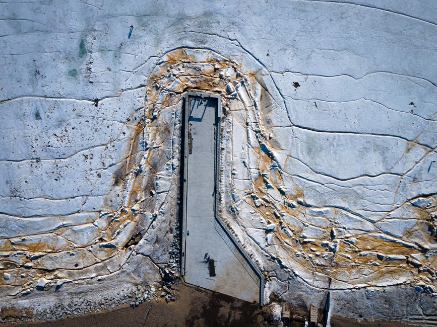
Richat Structure, Mauritania
So vast it can only be fully appreciated from space, the Richat Structure, often called the 'Eye of the Sahara,' is a geological dome whose origins baffled scientists for decades.
Initially thought to be an impact crater, the Eye of the Sahara is now understood to be a deeply eroded, domed structure, approximately 40 kilometers in diameter. Its concentric rings of different rock layers create a striking, almost perfectly circular pattern in the barren desert landscape. The name 'Richat' itself refers to a local term for a feather, perhaps alluding to its intricate patterns visible from above, making it a natural landmark of immense scale and mystery.
3. Beneath the Earth: Kom El Shoqafa's Merged Cultures
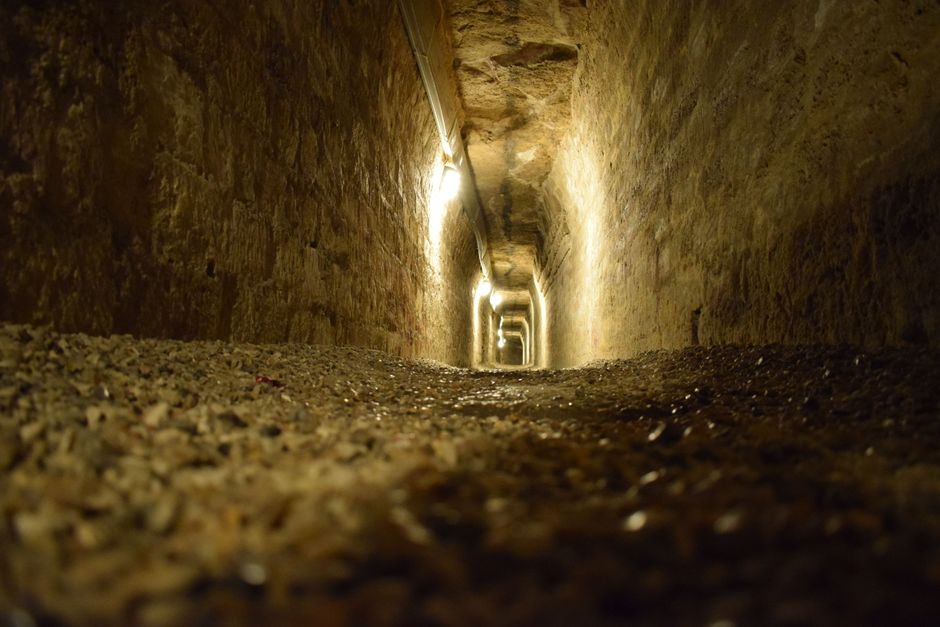
Catacombs of Kom El Shoqafa, Alexandria, Egypt
These Roman-era catacombs are a unique subterranean fusion, where Egyptian funerary art blends seamlessly with Greek and Roman styles.
Discovered by chance in 1900 when a donkey disappeared into a hole, the Catacombs of Kom El Shoqafa are a labyrinth of tombs carved into rock over three levels. The name 'Kom El Shoqafa' means 'Mound of Shards' because the area was once a dump for pottery and clay objects. Inside, pharaonic gods wear Roman armor, and Greek mythological figures adorn Egyptian-style sarcophagi, illustrating Alexandria's rich cultural tapestry during Roman rule.
4. Devils Postpile: Nature's Geometric Marvel
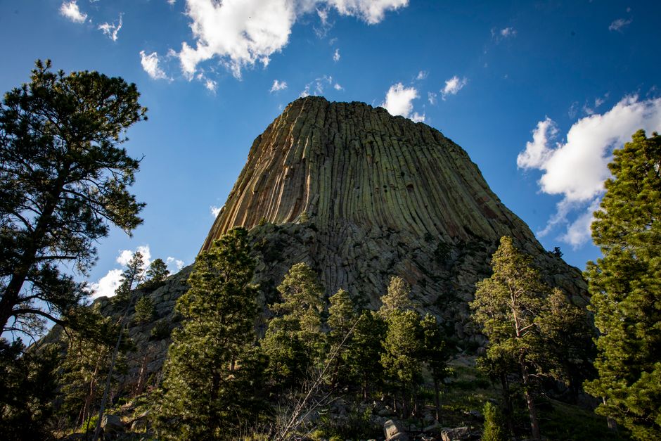
Devils Postpile National Monument, California, USA
This striking formation of perfectly columnar basalt, often mistaken for human construction, was named by early explorers who saw the 'devil's handiwork' in its impossible precision.
Formed less than 100,000 years ago when a lava flow cooled and cracked, the Devils Postpile features columns up to 60 feet tall, with sides so uniform they appear machine-cut. Most columns are hexagonal, some are pentagonal, and others have as many as seven sides. The 'devilish' perfection of this natural phenomenon, coupled with its dramatic setting in the Sierra Nevada, gave it a name that captures both its awe-inspiring appearance and the early settlers' wonder.
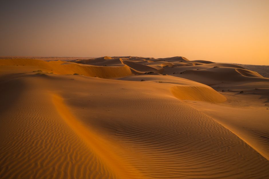
5. The Singing Sands of Rub' al Khali
Rub' al Khali desert, Oman
Deep within the Empty Quarter, massive dunes are known to 'sing' or 'boom'—a mysterious phenomenon that gives these vast sand formations their evocative name.
The 'singing' or 'booming' sound of the dunes is a rare acoustic phenomenon, produced when dry sand avalanches down a dune face, causing grains to vibrate. The precise conditions for this resonance are elusive, making it an infrequent but unforgettable experience. The Rub' al Khali, or 'Empty Quarter,' is the largest contiguous sand desert in the world, and the name 'singing dunes' captures the almost mythical quality of its vast, stark beauty and the secrets it holds.
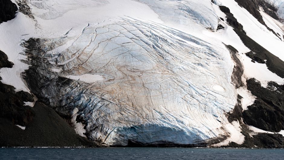
6. Blood Falls: Antarctica's Icy Secret
Taylor Glacier, Antarctica
A crimson waterfall staining the pristine white ice of Taylor Glacier, 'Blood Falls' is a stunning and eerie natural spectacle named for its vivid, iron-rich outflow.
The striking red color of Blood Falls comes from iron oxides in a hypersaline (extremely salty) subglacial lake, which periodically seeps through a fissure in the ice. The water, trapped beneath the glacier for millions of years, is devoid of light and oxygen but rich in ancient microbial life. This unique ecosystem and its 'bleeding' appearance make Blood Falls a compelling natural wonder, its name accurately reflecting its startling visual impact and scientific intrigue.
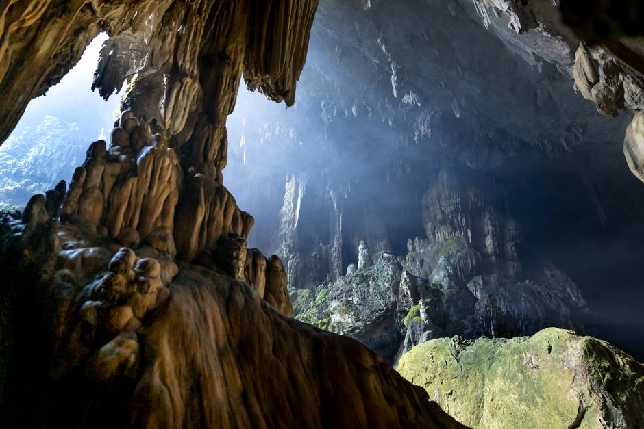
7. Mulu Caves: The Garden of Eden Within
Gunung Mulu National Park, Sarawak, Malaysia
Named for the mountain it resides within, the Mulu Caves boast some of the largest and most dramatic cave passages in the world, including one so vast it could hold 40 Boeing 747s and another called the 'Garden of Eden' for its unique features.
Gunung Mulu National Park is home to an intricate network of limestone caves, carved over millions of years. Among them is Sarawak Chamber, the largest known cave chamber by area, and Deer Cave, which has a massive entrance and a 'Garden of Eden' sinkhole where a lush micro-ecosystem thrives. The park's name, 'Mulu,' refers to the towering sandstone peak that dominates the landscape, hinting at the geological forces that created these subterranean marvels.
Frequently asked questions
Why are place names important?
Place names are vital because they encapsulate history, geology, and culture. They serve as linguistic markers, preserving stories of Indigenous peoples, early explorers, significant events, or unique natural features. Renaming places risks erasing these deep-rooted narratives and the collective memory tied to a location.
How do places typically get their names?
Places acquire names through a wide array of origins: descriptive terms (e.g., 'Red River'), names of people (explorers, leaders), Indigenous languages ('Mississippi' from Algonquian for 'Great River'), historical events, mythical figures, or even a community's aspirations. These names often reflect the profound connection between people and their environment over centuries.
Have many places been renamed throughout history?
Yes, place names have evolved considerably throughout history, often reflecting shifts in power, cultural influences, or political ideologies. Colonial conquests, independence movements, and even urban development have led to numerous renamings. However, the most enduring names often carry deep historical or descriptive significance, resisting arbitrary changes.
How can I discover the stories behind more places like these?
To truly unlock the hidden narratives of the world around you, consider using the AllTours.ai app. Simply point your phone camera at any landscape or landmark, and the app will instantly narrate its history, geology, and culture in your preferred language. It's like having a local expert in your pocket, revealing the profound stories etched into every corner of our planet.
Related guides
Photography via Pexels. AllTours.ai is an AI audio tour guide — point your camera at any landscape and hear its story.