September 8, 2026 · 4 min read
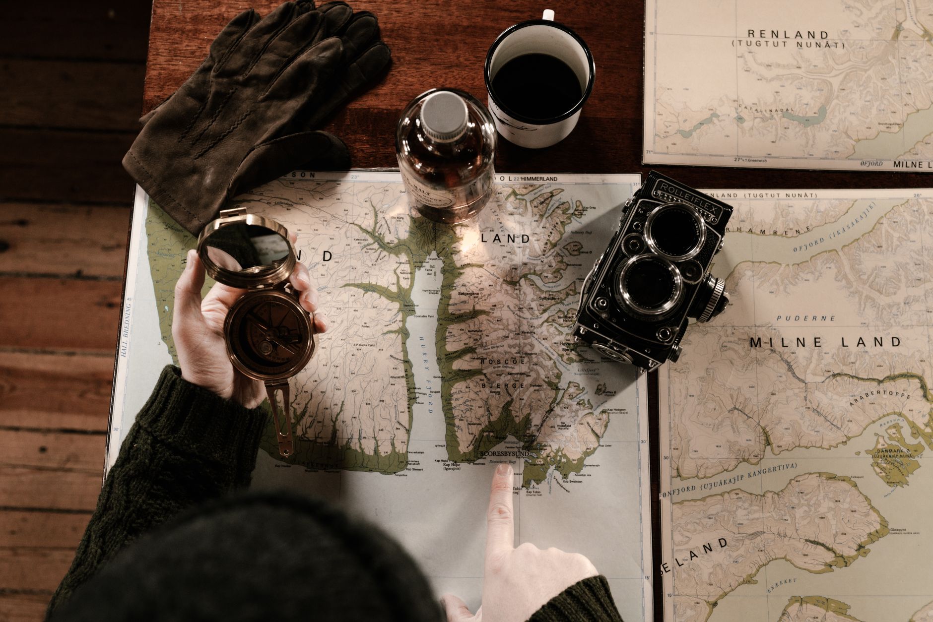
For centuries, maps have been more than just tools for navigation; they are repositories of history, culture, and human endeavor. They define our world, chart our past, and guide our future. But what is it about these graphical representations of our planet that ignites such profound passion in people?
The answer often lies in the stories embedded within them – in the names of mountains, rivers, and towns, in the lines that demarcate borders, and in the very act of charting the unknown. Every named location carries a legacy, a piece of identity that people guard fiercely, highlighting the deep connection between geography and human emotion.
1. The Vanished Towns Beneath the Waves
The Lost Villages, Ontario, Canada
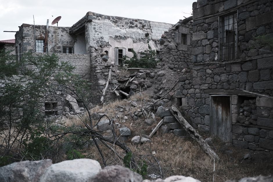
Imagine an entire community, complete with homes, schools, and churches, deliberately submerged under water, existing only on old maps and in memory.
In 1958, ten communities along the St. Lawrence River were permanently flooded to create the St. Lawrence Seaway, an engineering marvel designed to improve navigation and generate hydroelectricity. These "Lost Villages" were vibrant places whose names like Aultsville and Dickinson's Landing disappeared from modern atlases, leaving behind a poignant testament to progress and sacrifice. Their memory lives on through commemorative plaques and the enduring attachment of former residents and their descendants.
2. A Sacred Valley’s Fierce Protection
Kalalau Valley, Kauai, Hawaii, USA
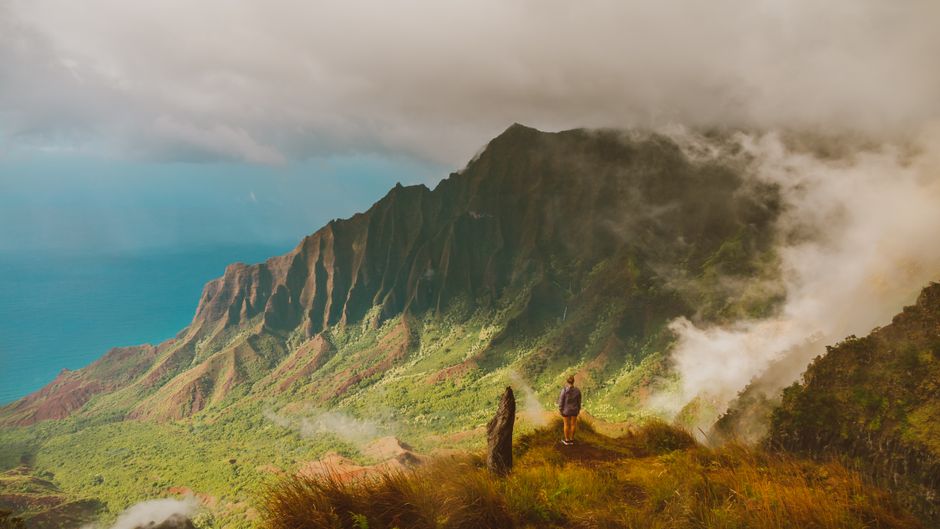
This breathtaking, remote valley on Kauai's Na Pali Coast is intentionally kept largely inaccessible, its name a symbol of its sacred, wild beauty.
Kalalau Valley, a verdant amphitheater carved by millennia of erosion, is famous for its dramatic cliffs and pristine wilderness. Reachable only by a challenging 11-mile hike or by sea, its limited access preserves its ecological integrity and cultural significance. The name itself evokes a sense of ancient Hawaii, reflecting a deep respect for nature and a desire to protect its sacred spaces from over-development, a sentiment often mirrored in how communities view their mapped identities.
3. The Quirky Conjunction of 'Why'
Why, Arizona, USA
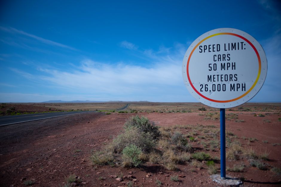
This small Arizona community got its unusual name from a simple, yet unique, geographical feature: a Y-shaped intersection.
The town of Why, Arizona, stands at the intersection of two state highways that once formed a distinct Y-shape. Originally, state law required a town name to have at least three letters, preventing the use of "Y." Resourceful locals settled on "Why," embracing the peculiarity. It's a modern example of how geographical quirks can directly influence a place's identity and its designation on maps, sparking curiosity and a smile in those who pass through.
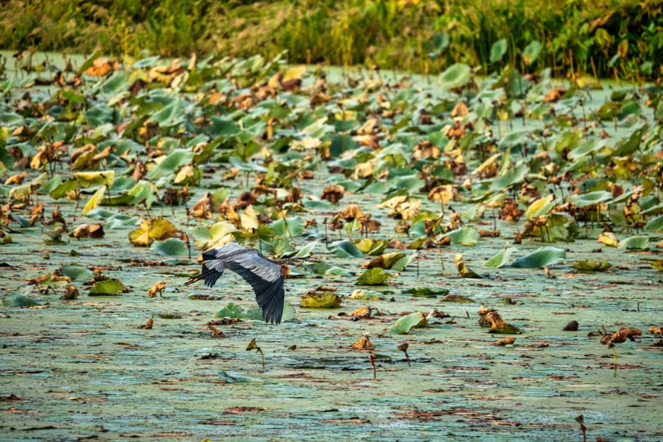
4. A Swamp's Redemption from a 'Dismal' Past
Great Dismal Swamp, Virginia/North Carolina, USA
Once viewed as a foreboding, inhospitable wilderness, its "dismal" name hides a crucial ecological haven and a rich, complex human history.
The Great Dismal Swamp, a vast wetland spanning the Virginia and North Carolina border, was historically perceived as a treacherous, unhealthy place, hence its uninviting name. However, this ancient peat bog is a vital ecosystem, home to diverse wildlife and a critical migratory bird stopover. It also served as a refuge for runaway enslaved people and Indigenous communities, whose hidden settlements underscore the swamp's complex legacy and the evolving perception of its mapped identity.
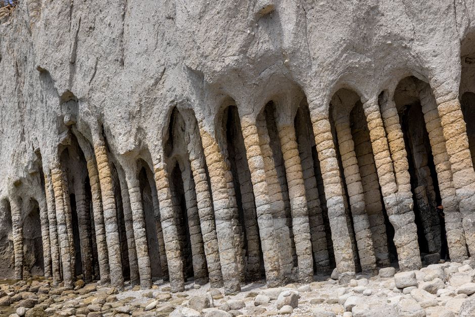
5. The Geologic Marvel Named by Superstition
Devil's Postpile National Monument, California, USA
Its dramatic, perfectly formed hexagonal basalt columns were so unusual, early settlers attributed their creation to the supernatural, earning it a vivid, enduring name.
Rising abruptly from the earth near Mammoth Lakes, Devil's Postpile is a spectacular formation of columnar basalt, the result of a lava flow that cooled and cracked into geometric perfection. Its distinctive, almost otherworldly appearance led early European American settlers to name it for the devil, reflecting their awe and lack of geological understanding at the time. This powerful name has stuck, highlighting how human perception and storytelling can literally shape the map.

6. The Self-Declared Republic of Creativity
Republic of Užupis, Vilnius, Lithuania
This bohemian neighborhood within Lithuania's capital city declared itself an independent republic, complete with its own constitution, flag, and even an army of twelve.
Užupis, meaning "beyond the river" in Lithuanian, is a small district in Vilnius, populated by artists and free spirits. On April 1st, 1997, its residents playfully declared independence, creating a constitution that includes rights like "Everyone has the right to be happy" and "Everyone has the right to be unhappy." While not recognized by any government, Užupis exists on maps as a unique cultural entity, demonstrating how people can create and define their own spaces and identities, even within established boundaries.
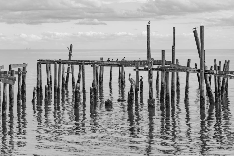
7. An Accidental Lake's Salty Saga
Salton Sea, California, USA
America's largest lake by surface area in California was not formed naturally but created by accident, leading to a complex and controversial legacy.
The Salton Sea came into being between 1905 and 1907 when an irrigation canal from the Colorado River broke, flooding a dry desert basin for two years. This accidental lake became a thriving resort destination in the mid-20th century. However, without an outlet, it has grown increasingly saline and polluted, leading to ecological challenges. Its simple name lies a dramatic origin story and ongoing environmental struggles, a stark reminder of humanity's impact on the landscapes we map.
Frequently asked questions
Why do place names matter so much to people?
Place names are deeply intertwined with identity, history, and belonging. They reflect cultural heritage, commemorate significant events, and provide a sense of rootedness. For many, a place name is a connection to their past and a source of community pride.
How do maps influence our understanding of the world?
Maps are powerful tools that shape our perception of geography, history, and even politics. They can highlight certain features, simplify complex realities, and reflect the perspectives of their creators, influencing how we learn about and interact with different regions and cultures.
Are there still truly "unexplored" places on maps today?
While satellite imagery has mapped virtually every corner of the globe, true "unexplored" places in the traditional sense are rare. However, many remote regions, especially deep oceans, dense rainforests, and subterranean cave systems, remain scientifically underexplored, holding countless secrets yet to be discovered and understood.
How can the AllTours app help me explore these types of unique locations?
AllTours.ai is an AI audio tour guide app that brings the stories of places to life. Simply point your phone camera at any landscape or landmark, and the app will narrate its history, geology, and culture in your preferred language, revealing the fascinating stories behind both well-known and hidden gems.
Related guides
Photography via Pexels. AllTours.ai is an AI audio tour guide — point your camera at any landscape and hear its story.