September 13, 2026 · 4 min read
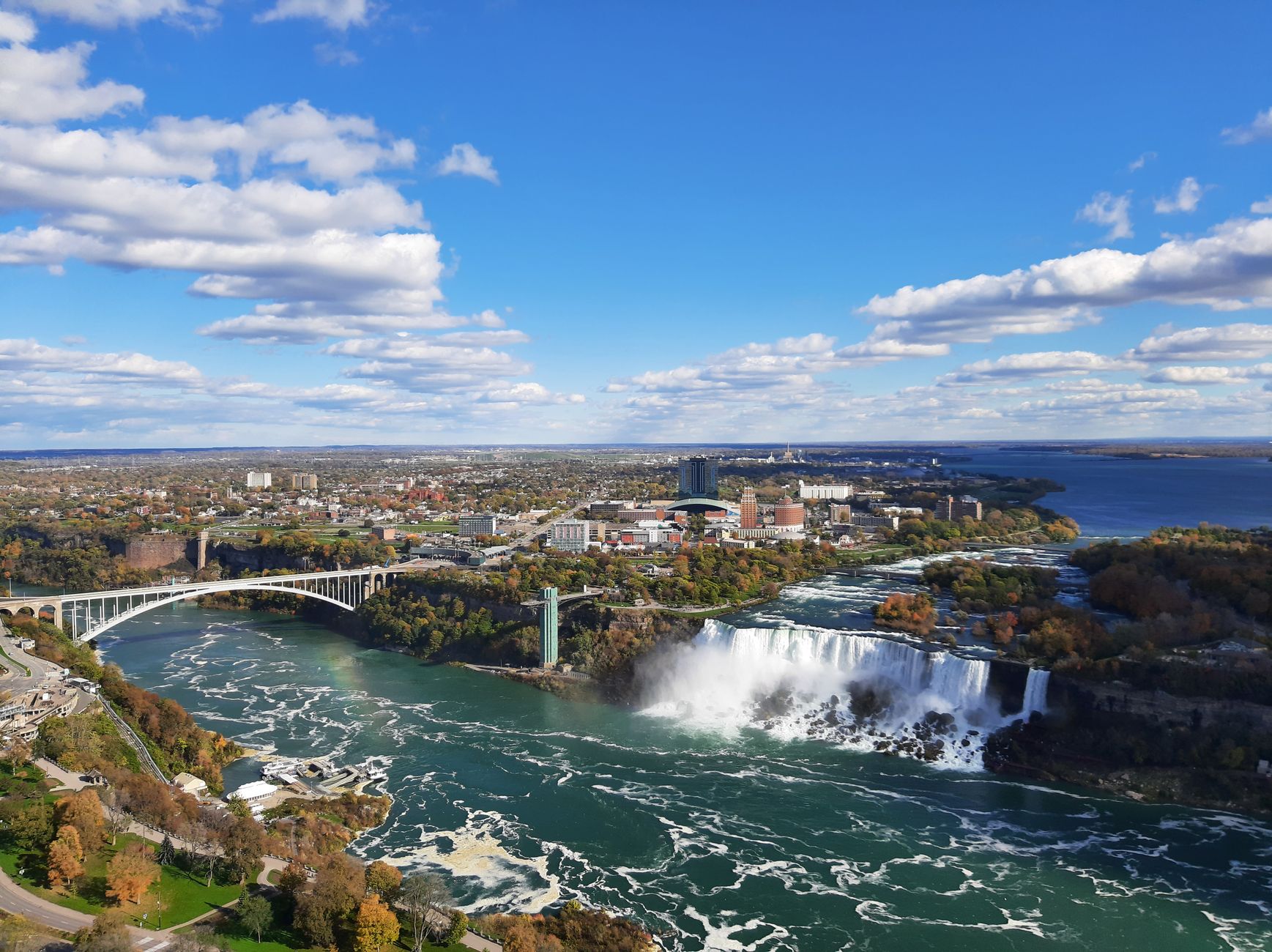
The vast network of rivers and lakes stretching across the Canada-United States border is more than just a geographic feature; it's a testament to intertwined histories, shared resources, and complex diplomatic agreements. When we ask, 'Who owns the water that flows from Canada into the United States?' the answer is rarely simple, often involving intricate treaties and local impacts.
Beyond the well-known Great Lakes and Niagara Falls, countless lesser-known waterways tell extraordinary tales of ingenuity, compromise, and even sacrifice. Join us as we explore some of North America's most fascinating cross-border water stories, revealing the hidden depths of these shared liquid landscapes.
1. The Boomerang River: Milk River
Alberta, Canada / Montana, USA
It's the only river that flows from Canada into the US and then *back* into Canada, defying simple cross-border definitions.
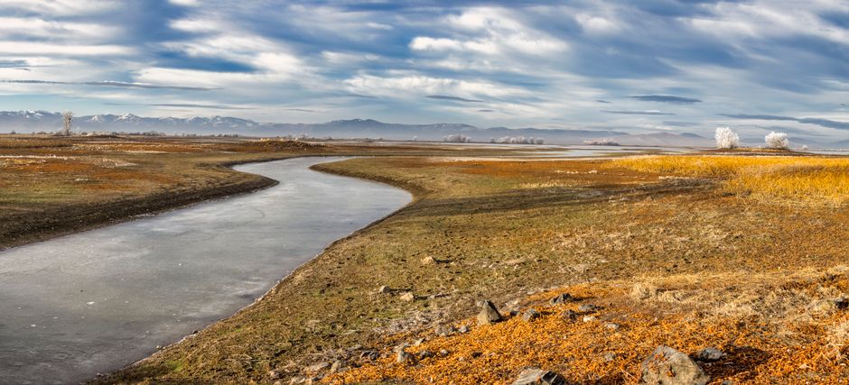
Originating in Montana, the Milk River flows north into Alberta before looping back south into Montana to join the Missouri River. This unique hydrological path led to the 1909 Boundary Waters Treaty, which established a framework for sharing the river's waters between the two nations. This agreement, a century ahead of its time, highlights the early recognition of shared water resources across the continent.
2. America's Accidental Island: The Northwest Angle
Minnesota, USA / Manitoba, Canada
This sliver of US land, part of Minnesota, is physically attached to Canada and requires crossing international borders twice to reach by land.
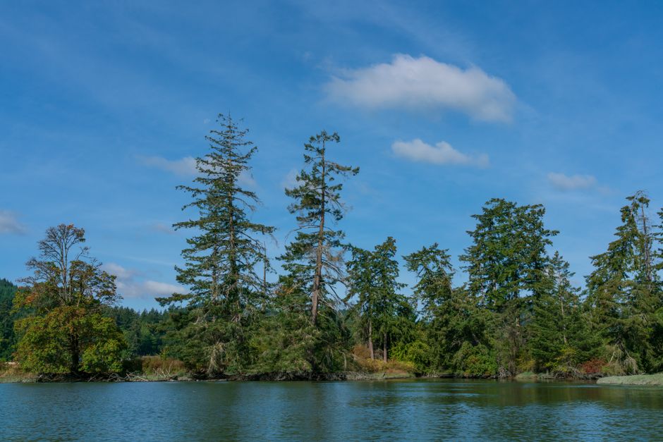
The Northwest Angle's peculiar geography is a result of a cartographic error in the 1783 Treaty of Paris, which defined the US-Canada border. This remote US territory on Lake of the Woods is cut off from the rest of Minnesota by the lake itself, making it a logistical curiosity. Its residents often use Canadian services and roads, embodying the fluid nature of the border.
3. A Border Forged in Water: St. Croix River
Maine, USA / New Brunswick, Canada
The St. Croix River was chosen as the international boundary in 1783, leading to centuries of surveys and disputes over its exact course.
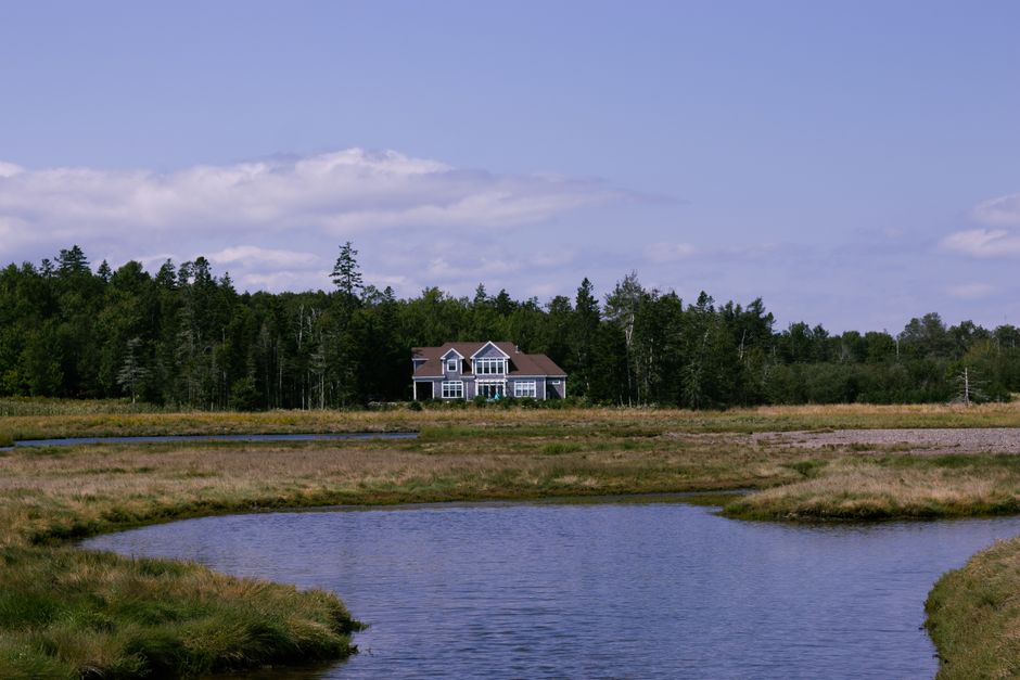
This river became the subject of intense diplomatic wrangling post-Revolutionary War, as its identity was initially unclear. Early surveys were critical in preventing conflict, defining the boundary between Maine and New Brunswick. Today, the river supports diverse ecosystems and communities, its waters flowing past historic logging towns and ancestral Passamaquoddy lands, a living legacy of its role in shaping two nations.
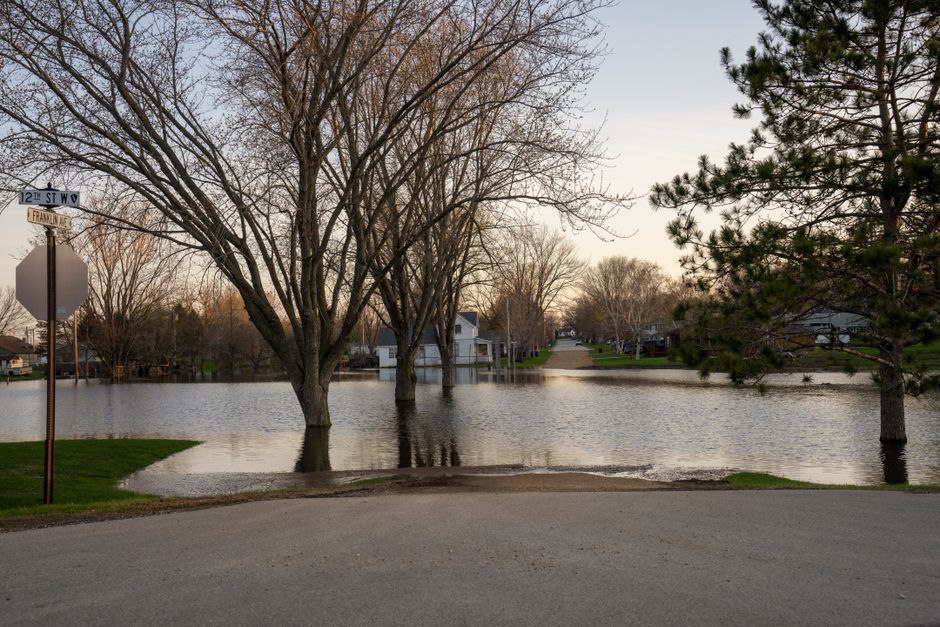
4. The Submerged Towns: Arrow Lakes
British Columbia, Canada
Beneath the tranquil surface of these reservoirs lie the remnants of entire communities, flooded by the Columbia River Treaty for downstream power generation in the US.
In the 1960s, the construction of dams under the Columbia River Treaty transformed the Arrow Lakes. Towns like Needles, Fauquier, and Renata were evacuated and submerged to create storage reservoirs. This massive undertaking provided flood control and hydroelectricity for both Canada and the US, but at the cost of displacing thousands of residents and burying their homes and histories under the water.
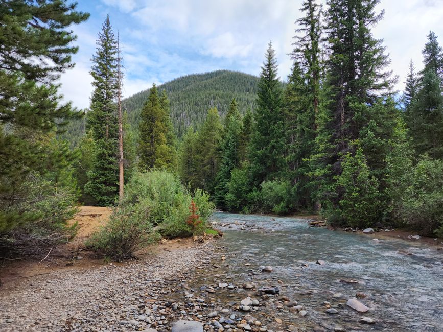
5. North America's Undammed Gem: Flathead River
British Columbia, Canada / Montana, USA
This pristine river, flowing across the international border, remains undammed thanks to decades of cross-border conservation efforts.
The Flathead River originates in British Columbia's Flathead Valley and flows south into Montana, eventually joining the Columbia River system. Decades of advocacy by environmental groups and Indigenous communities on both sides of the border successfully prevented proposed mining and dam projects. Today, its waters are celebrated for their ecological integrity, supporting grizzly bears, bull trout, and diverse wildlife in one of North America's most intact transboundary ecosystems.
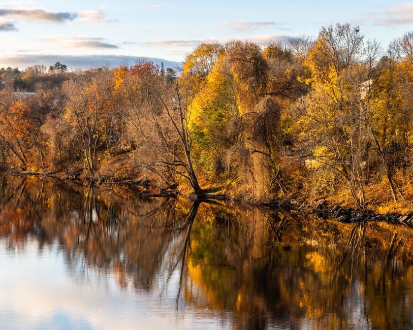
6. The Northern Flow: Aroostook River
Maine, USA / New Brunswick, Canada
Unlike most Canada-US rivers, the Aroostook begins in Maine and flows north-eastward into New Brunswick, a unique reversal of the typical water path.
Starting near the center of Maine, the Aroostook River meanders through potato fields and forests before crossing into New Brunswick and eventually emptying into the Saint John River. This unusual northward flow reflects the region's complex topography. Historically, the river was crucial for logging, with timber floated downstream, and its valley was a flashpoint in the "Aroostook War," a bloodless boundary dispute between the US and British North America in the 1830s.
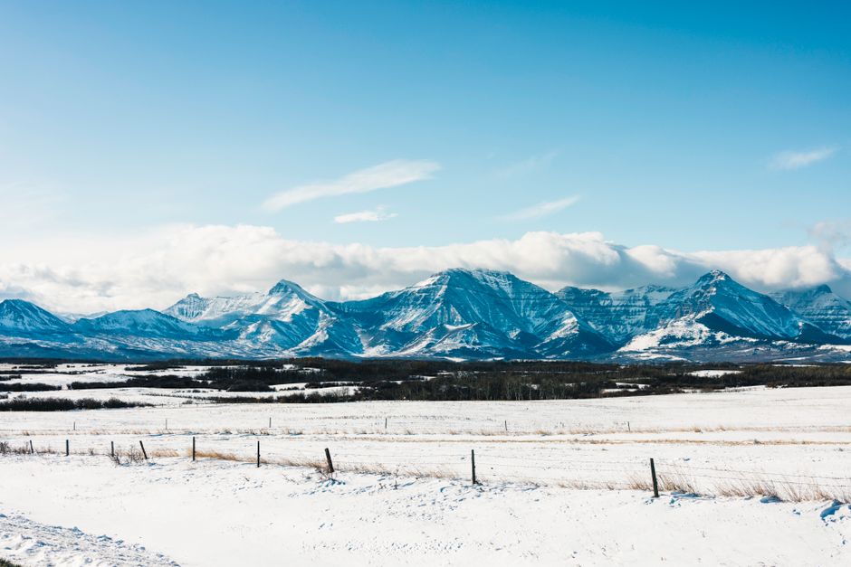
7. Where Mountains Meet and Waters Divide: Waterton-Glacier International Peace Park
Montana, USA / Alberta, Canada
This international park is home to the Triple Divide Peak, a unique hydrological point sending water to three different oceans via separate river systems.
Waterton-Glacier, the world's first International Peace Park, symbolizes cross-border cooperation in conservation. Its majestic landscapes are not just visually stunning; they are hydrologically significant. From Triple Divide Peak, water flows to the Pacific Ocean, the Atlantic Ocean (via the Gulf of Mexico), and the Arctic Ocean (via Hudson Bay). This makes it a critical headwater region for major continental river systems, shared by two nations.
Frequently asked questions
What international agreements govern water sharing between Canada and the US?
The primary agreement is the Boundary Waters Treaty of 1909, administered by the International Joint Commission (IJC). This treaty prevents either country from polluting or diverting waters that flow across the border to the injury of the other. It ensures equitable use and protection of shared waterways.
Is there a specific body that manages these shared waters?
Yes, the International Joint Commission (IJC) was established by the Boundary Waters Treaty. It consists of six commissioners, three from each country, who resolve disputes and provide advice on issues concerning transboundary waters, ensuring cooperative management.
Do Indigenous communities have a say in transboundary water management?
Increasingly, yes. While the 1909 treaty predates modern Indigenous rights recognition, efforts are being made to include First Nations and Tribal Nations in water governance. Their traditional ecological knowledge and inherent rights are vital for sustainable management of shared waters, though their full involvement is an ongoing process.
How can AllTours.ai help me explore these unique water stories?
AllTours.ai brings these hidden histories to life. Simply point your phone camera at a landmark or landscape, and the app uses AI to narrate its history, geology, and culture in your language. It’s like having a local expert reveal the fascinating stories behind the places where Canada and US waters meet and diverge.
Related guides
Photography via Pexels. AllTours.ai is an AI audio tour guide — point your camera at any landscape and hear its story.